Review of conditions in Snake River basin over the 2016-17 Water Year.
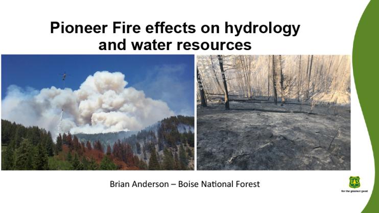
2016 fire season summary: Pioneer Fire background, Burned Area Emergency Response (BAER), fire effects on watersheds, Forest Service response, anticipated watershed effects.
Overview of 2015-16 cloud season results, Payette Target-Control, Basin-wide Target-Control results, Weather Research Forecast (WRF) modeling results, WRF model example, 2016-17 project overview, SNOWIE: Seeded and Natural Orographic Wintertime clouds — the Idaho Experiment.
Describes Chinook salmon management by Idaho Power in Columbia River Basin.
The 2017 Water Year in Pacific Northwest so far, climate outlook and water supply forecasts. Includes jet stream and La Niña/El Niño information.
Current drought/climate conditions in the Pacific Northwest: precipitation, soil moisture, temperature.
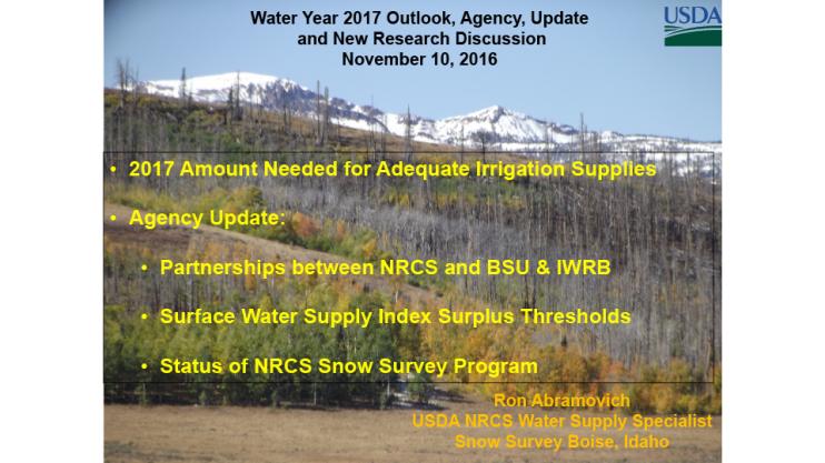
Covers amount of water needed for adequate irrigation supplies in 2017, plus an agency update:
- Partnerships between Natural Resources Conservation Service, Boise State University and Idaho Water Resources Board
- Surface water supply index (SWSI) surplus thresholds
- Status of NRCS Snow Survey Program
Summarizes conditions in Idaho over the past year including snow pack, SPEI, temperature, precipitation, drought, reservoir levels, lake levels.
Explains what is NIDIS, what is a drought early warning, what is a Drought Early Warning System (DEWS), background of Pacific NW DEWS.
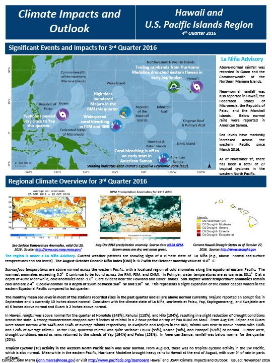
Quarterly Climate Impacts and Outlooks for the Pacific Region for August – October 2016. Dated November 2016.


