
Quarterly Climate Impacts and Outlook for the Midwest Region for December 2020 – February 2021. Dated March 2021.
Winter temperatures averaged to within a few degrees of normal across the region, but averaging hid the big temperature swings seen this winter. Winter precipitation was generally below normal across the Midwest.

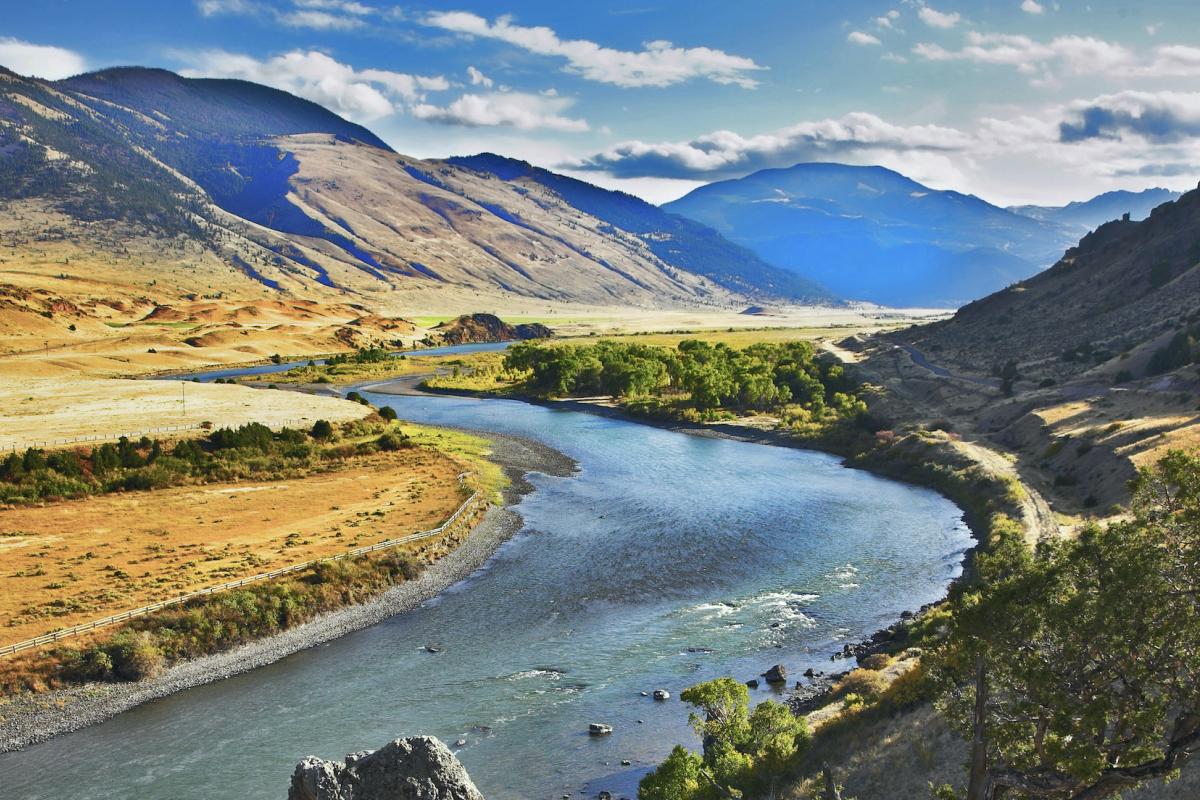
Quarterly Climate Impacts and Outlook for the Missouri River Basin December 2020 – February 2021. Dated March 2021.
Temperatures this winter were extreme on both ends of the spectrum. Several states in the region ranked in the top 10 warmest Decembers and Januarys, while others ranked in the top 10 coldest Februarys. Although much of the region was on the dry side this winter, only North Dakota ranked in the top 10 at 3rd driest.

The National Weather Service developed 2021 Spring Hazard Outlooks in coordination with the National Centers for Environmental Information, National Integrated Drought Information System (NIDIS), U.S. Department of Agriculture, National Weather Service River Forecast Centers, and National Interagency Fire Centers' Geographic Area Coordination Centers. This outlook highlights the various Spring hazards that could occur and potential impacts across the Missouri River Basin.

The National Weather Service developed 2021 Spring Hazard Outlooks in coordination with the National Centers for Environmental Information, National Integrated Drought Information System (NIDIS), U.S. Department of Agriculture, National Weather Service River Forecast Centers, and National Interagency Fire Centers' Geographic Area Coordination Centers. This outlook highlights the various Spring hazards that could occur and potential impacts across the Upper Mississippi Valley and Great Lakes.

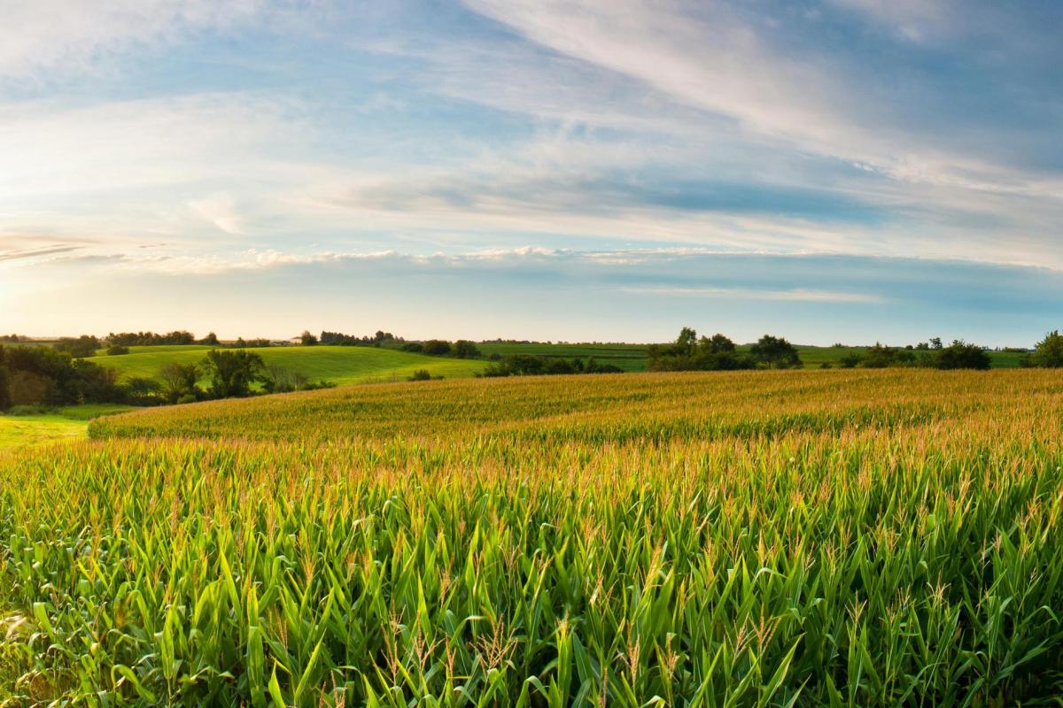
Quarterly Climate Impacts and Outlook for the Midwest Region for September – November 2020. Dated December 2020.
Precipitation totals in the Midwest ranged from less than 50% of normal in northwestern Minnesota to more than 150% of normal in eastern Iowa. Many areas were near normal. Fall temperatures were within 2°F of normal across the Midwest. After more than 1,000 record low daily temperatures in the last half of October, the first 11 days of November saw more than 1,500 record-high daily temperatures.

Quarterly Climate Impacts and Outlook for the Missouri River Basin September – November 2020. Dated December 2020.
Autumn 2020 was one of the driest on record for several states, including North Dakota (3rd), Colorado (9th), Nebraska (9th), Kansas (19th), and South Dakota (20th). Although temperatures were, overall, near normal, autumn had many extremes.

The Missouri River Basin (MRB) Drought Early Warning System (DEWS) Strategic Action Plan outlines priority tasks and activities to build drought early warning capacity and resilience. In early 2017, meetings were held to update the existing strategic plan, including a new focus on enhancing tribal capacity to use drought information and the use of new tools and drought indicators across the region. Before that plan could be finalized, drought quickly engulfed the Northern Plains region.

In order to ensure the inclusion of indigenous perspectives in the implementation of our DEWS, NIDIS launched a Tribal Drought Engagement initiative in January 2019 in collaboration with the Masters of the Environment Program at University of Colorado-Boulder. The project aimed to strengthen relationships with tribal resource managers across the Missouri River Basin and Midwest DEWS regions in order to effectively deliver timely and relevant drought information.