U.S. flag

An official website of the United States government

The U.S. government is closed. This site will not be updated; however, NOAA websites and social media channels necessary to protect lives and property will be maintained. To learn more, visit commerce.gov.

For the latest forecasts and critical weather information, visit weather.gov.
DATA & MAPS

Select categories to browse data

Looking to Download Data? The Drought.gov team reformats data from multiple partners into web- and GIS-ready formats, which we use throughout Drought.gov. These data are free for all to download.
Search Results(13)

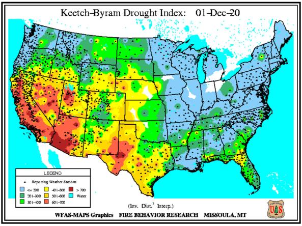
The Keetch-Byram Drought Index assesses the risk of fire by representing the net effect of evapotranspiration and precipitation in producing cumulative moisture deficiency in deep duff and upper soil layers.

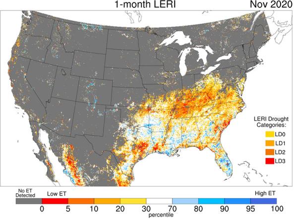
The Landscape Evaporative Response Index (LERI) is an experimental drought monitoring and early warning guidance tool that measures the anomaly in the actual evapotranspiration (ETa) from the land surface. This web page provides LERI plots based on accumulated 8-day, monthly, seasonal, growing season, and annual ETa for the contiguous United States and northern Mexico at a 1-km spatial resolution. 

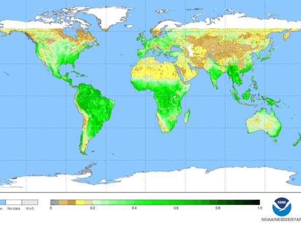
NOAA Center for Satellite Applications and Research (STAR) normalized difference vegetation index (NDVI) maps

A selection of worldwide maps monitoring different aspects of vegetation health.