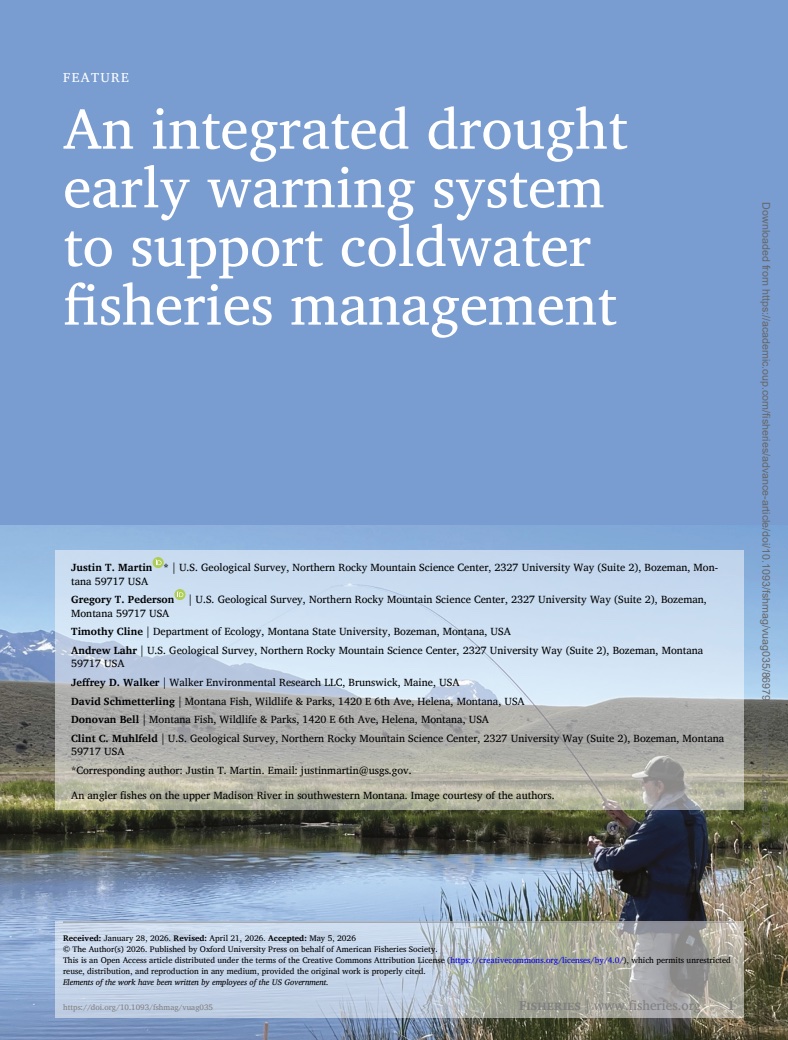
In this NIDIS-funded study, researchers at the U.S. Geological Survey, Montana State University, and Montana Fish, Wildlife, & Parks developed a drought early warning framework that forecasts river conditions that could result in temporary fishery closures and restrictions across Montana’s renowned trout fisheries.
Quarterly Climate Impacts and Outlook for the Northeast Region for March–May 2026. Dated June 2026.
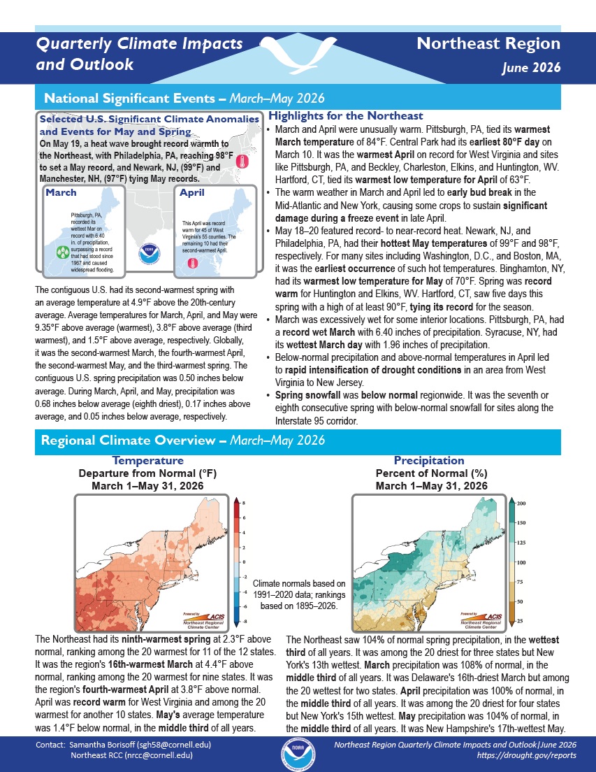
The Northeast had its ninth-warmest spring at 2.3°F above normal, ranking among the 20 warmest for 11 of the 12 states. The Northeast saw 104% of normal spring precipitation, in the wettest third of all years. It was among the 20 driest for three states but New York's 13th wettest.
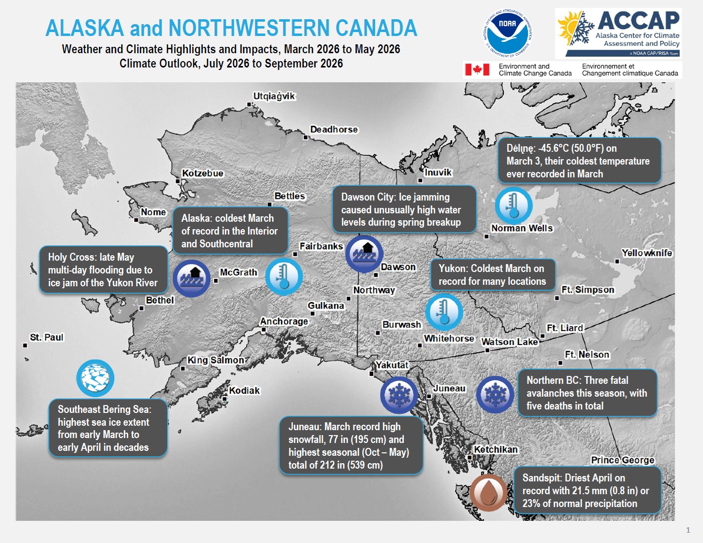
Quarterly Climate Impacts and Outlook for Alaska and Northwestern Canada for March–May 2026, with an outlook for July–September 2026. Dated June 2026.
ECCC, NOAA, and partners created these outlooks to inform the public about recent impacts within their respective regions. Each regional report contains easy-to-understand language, and anyone can access them through the U.S. Drought Portal.
Quarterly Climate Impacts and Outlook for the Pacific Region for March–May 2026. Dated June 2026.
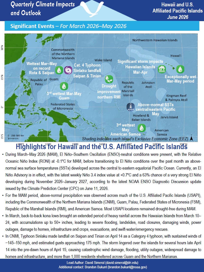
Above-normal precipitation was observed across much of the U.S.–Affiliated Pacific Islands (USAPI), including the Commonwealth of the Northern Mariana Islands, Guam, Palau, Federated States of Micronesia, Republic of the Marshall Islands, and American Samoa. Most USAPI locations remained drought-free.
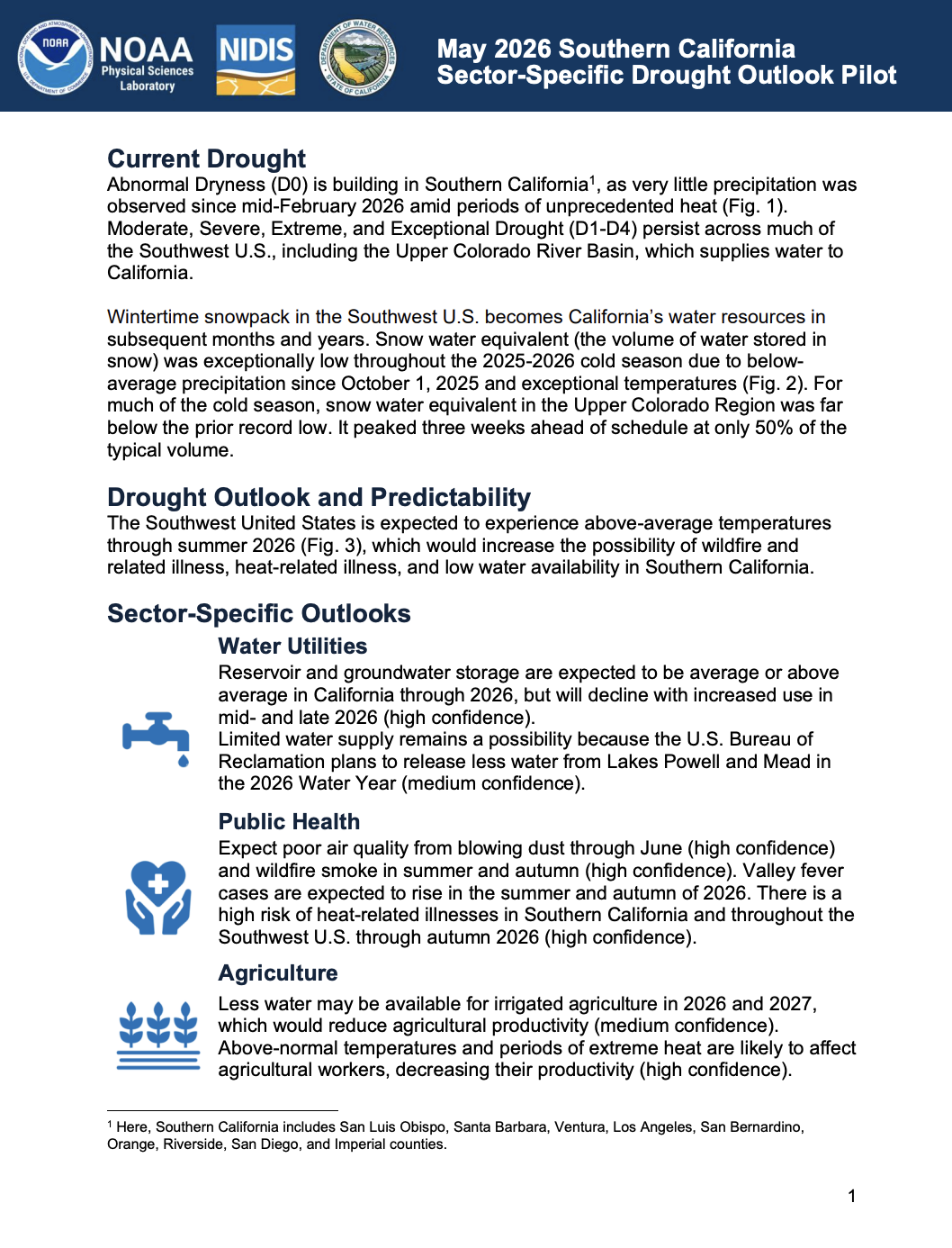
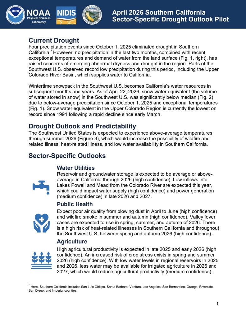
NOAA’s National Integrated Drought Information System (NIDIS) and Physical Sciences Laboratory are partnering with the California State Climatologist/California Department of Water Resources, NOAA’s National Weather Service and National Centers for Environmental Information, and the California-Nevada Adaptation Program (a NOAA CAP team) on the Sector-Specific Drought Early Warning Outlook – Southern California Pilot.
NOAA’s National Integrated Drought Information System (NIDIS) and Physical Sciences Laboratory are partnering with the California State Climatologist/California Department of Water Resources, NOAA’s National Weather Service and National Centers for Environmental Information, and the California-Nevada Adaptation Program (a NOAA CAP team) on the Sector-Specific Drought Early Warning Outlook – Southern California Pilot.
Drought is a natural part of the Southeastern United States climate and a threat to agricultural productivity and profitability. “Forage: A Producers Guide to Drought Preparation, Management, and Recovery in the Southeastern United States” is one in a set of guides to help Southeastern United States producers of economically important agricultural commodities build resilience to, prepare for, manage, and recover from drought impacts. This guide was developed by the U.S.
The purpose of the Pacific Northwest Water Year 2025 Impacts Assessment is to connect the water year conditions to sector-specific impacts to inform planning, response actions, and technical and scientific information needs. Ultimately, the assessment can be used as a resource for future management of drought and other climate extremes.
NOAA’s National Integrated Drought Information System (NIDIS) and Physical Sciences Laboratory are partnering with the California State Climatologist/California Department of Water Resources, NOAA’s National Weather Service and National Centers for Environmental Information, and the California-Nevada Adaptation Program (a NOAA CAP team) on the Sector-Specific Drought Early Warning Outlook – Southern California Pilot.
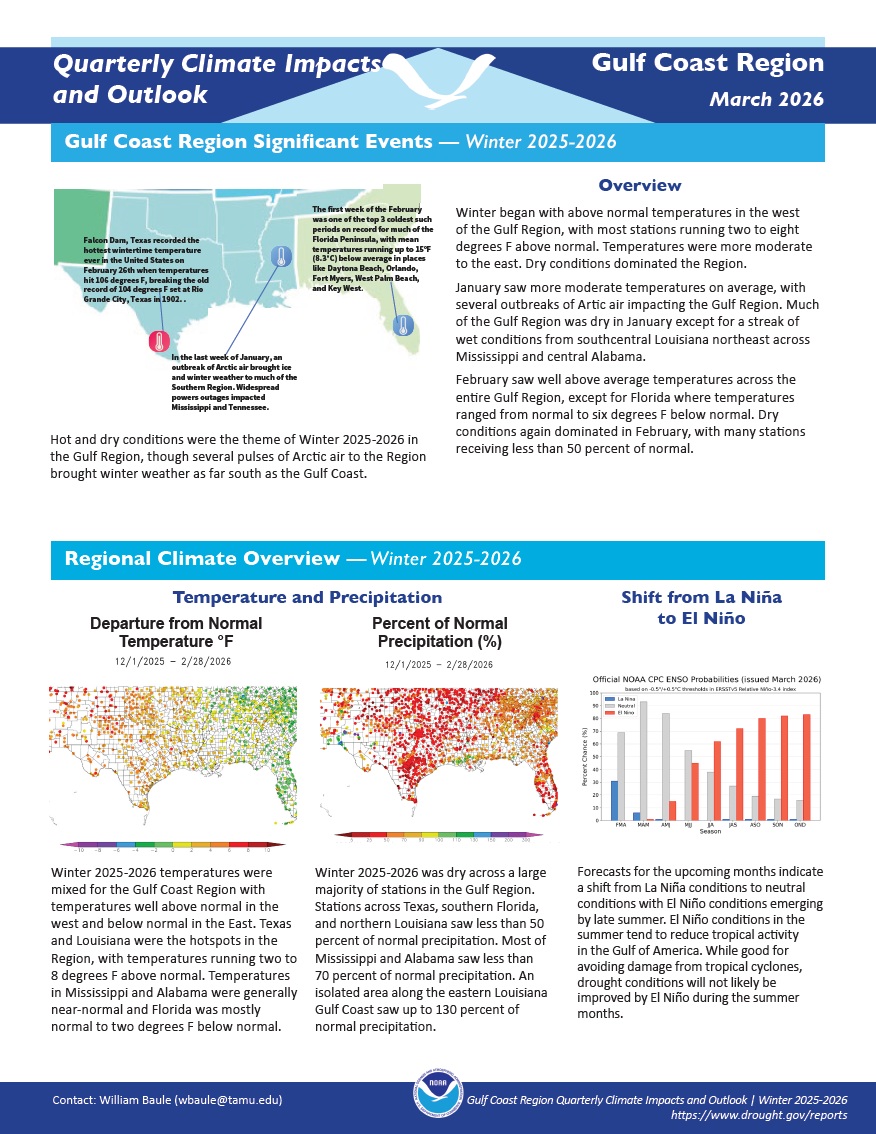
Quarterly Climate Impacts and Outlook for the Gulf Coast Region for December 2025–February 2026. Dated March 2026.
Winter temperatures were mixed for the Gulf Coast Region with temperatures well above normal in the west and below normal in the east. Winter was dry across a large majority of stations in the Gulf Region.