Using Machine Learning to Improve Model Representation of Soil Moisture in the UMRB
In response to severe drought and flood events in the Upper Missouri River Basin (UMRB) between 2011 and 2019, the Infrastructure and Investment Jobs Act provided funding to improve water monitoring in the region. The UMRB Data Value Study, led by NOAA’s National Integrated Drought Information System (NIDIS), is the assessment element of this multi-component, multi-agency project.
This project, Using Machine Learning to Improve Model Representation of Soil Moisture in the UMRB, was conducted by the Montana Climate Office as a component of the Data Value Study. This project pioneered using in situ soil moisture data to refine modeled soil moisture in the UMRB and test improvements to model accuracy relative to increased in situ monitoring.
Improving Modeled Soil Moisture in the UMRB
In situ monitoring of soil moisture conditions provides a detailed snapshot of water content at multiple depths, but in situ data are highly specific to the location of each station. Modeled soil moisture provides a landscape-level representation of conditions, but many remote-sensed or modeled outputs struggle to accurately represent the true heterogeneity of soil moisture in complex terrains. This project tested if increased in situ soil moisture monitoring could improve model accuracy through a new approach: using knowledge-guided machine learning trained on national-scale soil moisture models and refined with in situ soil moisture data.
The research team combined information from NASA’s SPoRT-LIS model with observations from more than 700 soil moisture stations, including the UMRB stations from state mesonets, USDA Natural Resources Conservation Service (NRCS) Soil Climate Analysis Network (SCAN), NRCS Snow Telemetry (SNOTEL), and NOAA U.S. Climate Reference Network (USCRN) networks. They first trained a deep learning model on decades of SPoRT-LIS simulations to capture broad relationships between weather and soil. The model was then fine-tuned using ground-based station data to correct local biases and better reflect real conditions. Model outputs were then compared to soil moisture data from stations omitted from model training.
The results show major improvements across the U.S., especially in the Upper Missouri River Basin, where SPoRT-LIS has less skill in estimating soil moisture. At shallow depths (0–10 cm), the knowledge-guided machine learning model more than doubled national accuracy compared to SPoRT-LIS, with even more significant improvements (more than 10x increase) in the Upper Missouri River Basin. At mid-depths (10–50 cm), accuracy also improved substantially.
Additionally, the project demonstrated the advantage of increasing station coverage in regions with limited in situ coverage: As more stations were added to the model, accuracy improved almost linearly, showing that each additional observation (or new station) provides value in improving the model.
Beyond accuracy statistics, the model also captured real-world events with more clarity. During the 2017 Northern Plains flash drought, the model showed rapid drying weeks before drought was depicted on the U.S. Drought Monitor.
Overall, the project indicated that new soil moisture observations can strengthen national drought monitoring, and machine learning can be used to improve soil moisture models to better support decision-making.
For more information, please contact Elise Osenga (elise.osenga@noaa.gov).
Research Snapshot
Zachary H. Hoylman, Montana Climate Office, University of Montana
Kelsey G. Jencso, Montana Climate Office, University of Montana
Key Findings from This Research
- The knowledge-guided machine learning model more than doubled the accuracy of shallow soil moisture measurements nationally, compared to the unadjusted NASA SPoRT-LIS model. Even greater skill improvements were observed in the UMRB.
- The accuracy of the new model increased in response to an increasing number of stations, demonstrating the clear advantage of increasing station coverage in regions with limited in situ coverage. This suggests a direct return on investment from Mesonet expansion.
- The model provided early warning of the 2017 Northern Plains flash drought, capturing rapid drying weeks before traditional monitoring tools.
- This knowledge-guided machine learning soil moisture dataset is now integrated into the Drought Data Dashboard (D3). In the dataset dropdown, select Headwaters Hydrology Project (HHP) – SMI (Soil Moisture Index).
Related Data & Maps
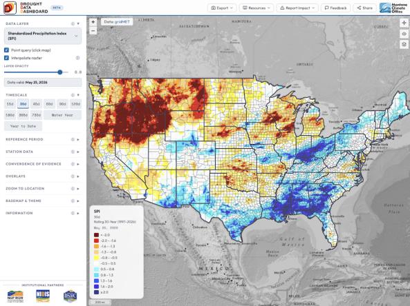
The Drought Data Dashboard, or D³, is an interactive mapping tool that allows users to view, analyze, and customize the display of key drought indices and climate variables across the co