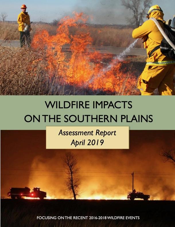
Between 2016 and 2018, the U.S. Department of Agriculture (USDA) Southern Plains Climate Hub led a project to assess the impacts of the recent historic 2016 and 2018 wildfires on the Southern Plains.
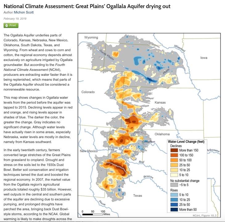
This Climate.gov feature highlights that the Ogallala Aquifer (which underlies parts of Colorado, Kansas, Nebraska, New Mexico, Oklahoma, South Dakota, Texas, and Wyoming) is drying. This will likely be one of the most pressing issues facing water availability in the Southern Plains regions in the coming decades.
Quarterly Climate Impacts and Outlook for the Southern Region for December 2016 – February 2017. Dated March 2017.
It was a warmer than normal winter (December–February) for the southern region, with all six states reporting warmer than normal temperatures in December, January, and February, with many states having their warmest February on record. Precipitation was abundant in southern Texas, and western Oklahoma. In Tennessee, much needed rain fell to help put out some of the Great Smoky Mountain wildfires.
Quarterly Climate Impacts and Outlook for the Southern Region for September – November 2016. Dated December 2016.
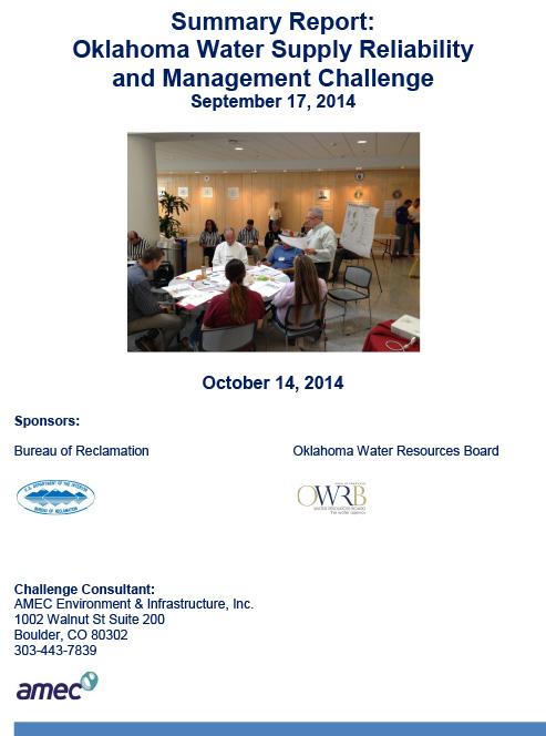
This report provides an overview of the Bureau of Reclamation (Reclamation) and Oklahoma Water Resources Board (OWRB) sponsored Oklahoma Water Supply Reliability and Management Challenge (Drought Challenge).
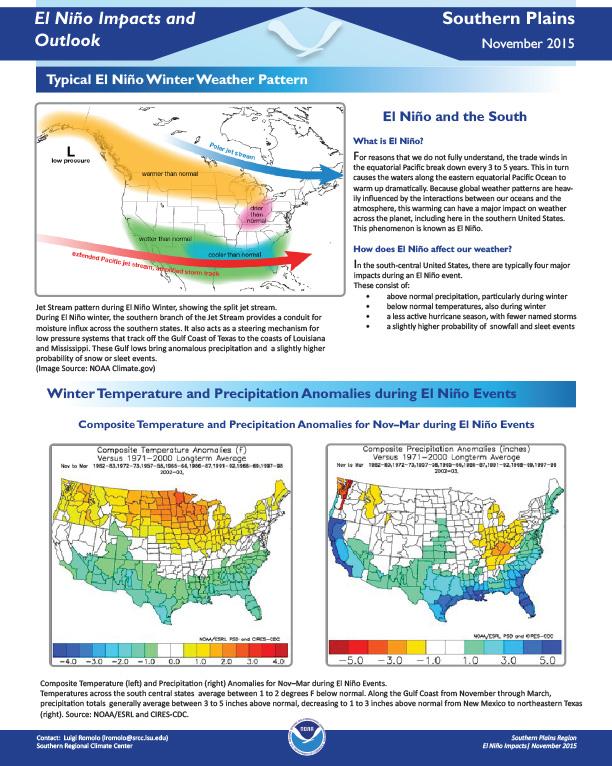
Typical El Niño winter weather pattern, temperature and precipitation anomalies during El Niño events, climate outlook for Dec-Feb 2016, effects on hurricane season.


