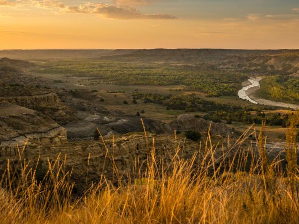
This webinar provided a current overview of drought conditions in the Northern Great Plains, as well as an outlook on what to expect this winter and going into the spring. Also, we discussed the Mesonet station program run by South Dakota State University and opportunities to gather the best available data on tribal lands.
This webinar, which is the fourth in a series focused on the drought in the Northern Plains, highlighted long-term drought monitoring for tribal resource departments by showcasing the Sac and Fox Nation of Missouri in Kansas and Nebraska and their data collecting and preparation efforts for drought in the region.
Please join us for the fourth Northern Plains Drought Update & Outlook Tribal Webinar on Thursday, September 30, 2021. This webinar will highlight long-term drought monitoring for tribal resource departments by showcasing the Sac and Fox Nation of Missouri in Kansas and Nebraska and their data collecting and preparation efforts for drought in the region.
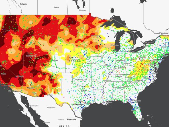
Drought in the Northern Plains continues to worsen, and widespread impacts are being felt, including impacts on tribal lands in the region. In order to provide up-to-date information on the drought and its impacts, and associated resources for tribal nations, the National Oceanic and Atmospheric Administration (NOAA), U.S. Geological Survey, and U.S. Department of Agriculture (USDA) have partnered to host a drought webinar series this summer specifically for the tribal nations in the Northern Plains.
Please join us for the third Northern Plains Drought Update & Outlook Tribal Webinar on Tuesday, July 27 at 10 a.m. MT/11 a.m. CT. This webinar will be focused on the impacts of drought on fish and wildlife in the Upper Missouri River Basin, and resources that are available from federal agencies for tribal nations to address these issues. The webinar will also include an update on the current drought and outlook information.
For Fiscal Year (FY) 2022, the National Integrated Drought Information System (NIDIS) is hosting a Coping with Drought research competition focused on ecological drought. This competition lead will be holding an informational webinar on Wednesday, July 14, 2021 at 3 p.m. EDT to discuss the background of the programs and expectations for this competition, as well as to address questions related to the development and submission of letters of intent and proposals.
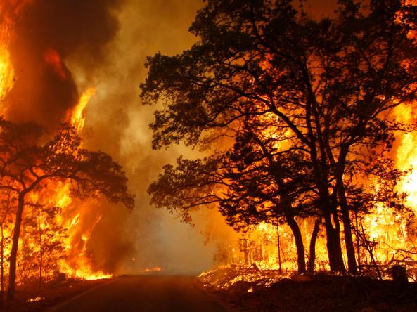
In this webinar, Southwest Climate Adaptation Science Center (CASC) researchers will describe recently published research where they estimate seed production and postfire regeneration of conifers in low-elevation California forests to help managers identify where management may be needed to encourage forest recovery after large wildfires. This webinar is part of a series of webinars hosted by the Southwest CASC, focusing on recent research from CASC researchers.