Event Date
June 16, 2026
11:00 am - 11:45 am
Location
Virtual
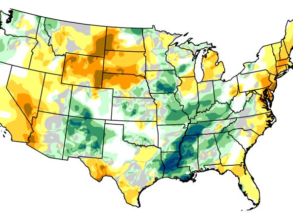
Join this Intermountain West Drought Update and Outlook Webinar to get information on current regional drought conditions and outlooks.
Event Date
April 7, 2026
11:00 am - 12:00 pm
Location
Virtual
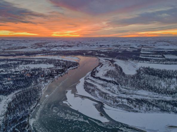
This special briefing of the Intermountain West Drought Early Warning System (DEWS) will highlight the unprecedented snow drought in the region and will provide early warning on potential impacts to spring runoff and regional water supply.
Event Date
August 12, 2025
11:00 am - 12:00 pm
Location
Virtual
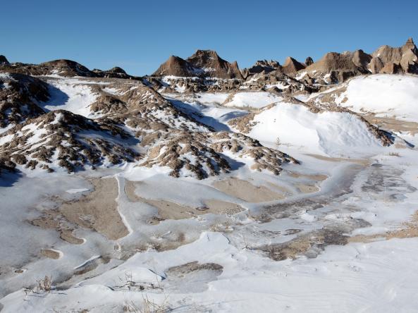
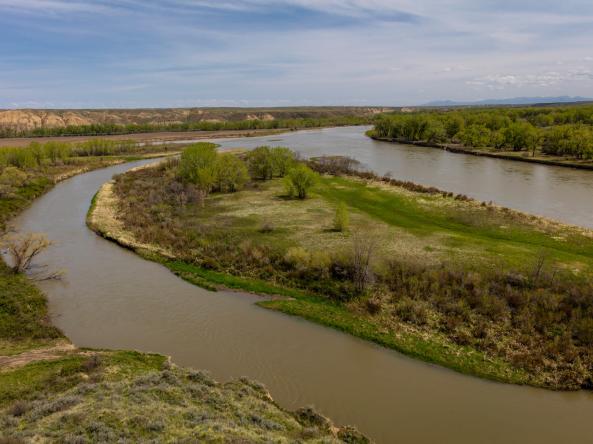
South Dakota State University and NOAA’s National Integrated Drought Information System (NIDIS) invite you to learn about a new tool for monitoring drought in the Upper Missouri River Basin (UMRB): UMRB Soil Moisture and Snowpack Maps.