Some maps and data on Drought.gov may be temporarily delayed. We are working to resolve the issue and apologize for the inconvenience.
Logo
Related Data & Maps
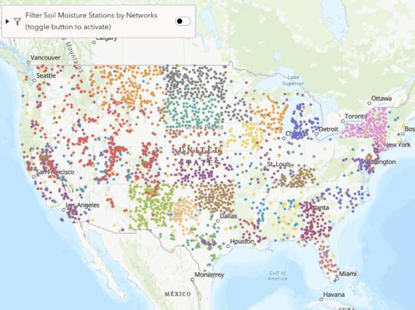
From 2018-2026, the research-based website NationalSoilMoisture.com provided high-resolution gridded soil moisture products derived from in situ soil moisture measurements, Natural Re
Related Webinar Recaps
Related News

Site Section
News & Events
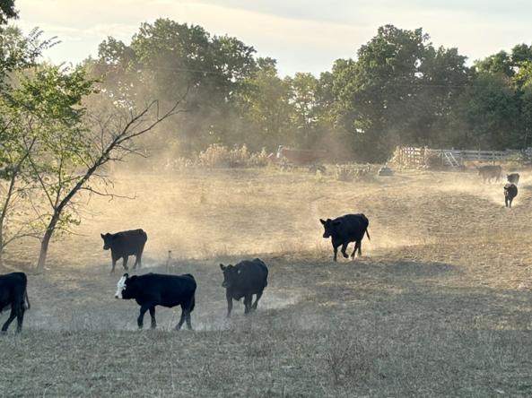
In the Upper Missouri River Basin, which includes sections of Montana, Wyoming, Nebraska, and the Dakotas, one of the most important reservoirs is underneath your feet. Snowpack and soil moisture form enormous natural reservoirs whose water storage can be challenging to estimate. The accuracy of these estimates, however, are critical for drought and flood preparedness. Led by NOAA’s National
Site Section
News & Events
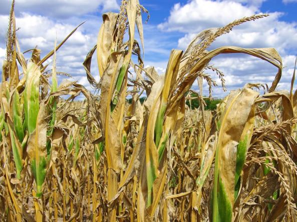
A key to an effective drought early warning system is having the people and processes in place before drought happens. In August 2024, parts of Ohio reached Exceptional Drought (D4), the most intense level of the U.S. Drought Monitor. This was also the first time ever that Ohio had areas of Exceptional Drought (D4) on the U.S. Drought Monitor since it began in 2000. Even though this was the
Site Section
News & Events
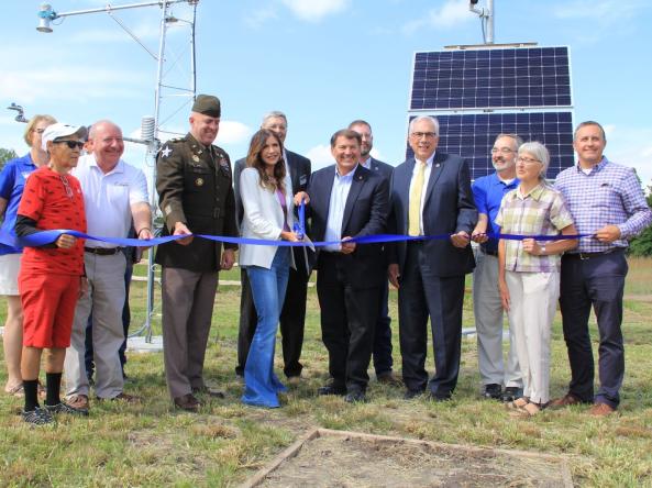
On August 25, 2022, Marina Skumanich, Program Specialist with NIDIS/National Coordinated Soil Moisture Monitoring Network, took part in a ribbon cutting ceremony to celebrate the expansion of the Mesonet at SD State, South Dakota's live weather network, as part of the Upper Missouri River Basin Soil Moisture and Plains Snow Build-Out project. This project, led by the U.S. Army Corps of

Site Section
News & Events
The National Integrated Drought Information System (NIDIS) is pleased to release A Strategy for the National Coordinated Soil Moisture Monitoring Network: Coordinated, High-Quality, Nationwide Soil Moisture Information for the Public Good (also known as the “NCSMMN Strategy”). Developed in part to fulfill the requirements of the NIDIS Reauthorization Act of 2018 (P.L. 115-423
Related Documents
Document Preview

Document Date
June 2021
Document Preview

Document Date
June 2021