Site Section
Data & Maps
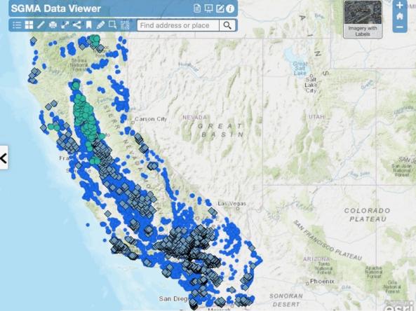
Sustainable Groundwater Management (SGMA) Data Viewer
Associated Agencies
California Department of Water Resources
This interactive tool shows California groundwater level data, including depth below ground surface, groundwater elevation, and groundwater change in elevation.
How To Access
View the SGMA Data Viewer interactive map on the public access site.
Alternatively, local agencies, groundwater sustainability agencies, and watermasters should log in or create an account through the SGMA Portal.
For the best experience, use an up-to-date version of Chrome or Firefox.
Partner(s)
Representative Image