U.S. flag

An official website of the United States government

DATA & MAPS

Select categories to browse data

Looking to Download Data? The Drought.gov team reformats data from multiple partners into web- and GIS-ready formats, which we use throughout Drought.gov. These data are free for all to download.
Search Results(189)

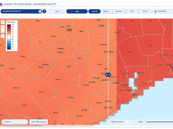
The Climate Explorer offers graphs and maps of observed and projected temperature, precipitation, and related climate variables for every county in the contiguous United States, helping people assess potential exposure, vulnerability, and risk to their assets.

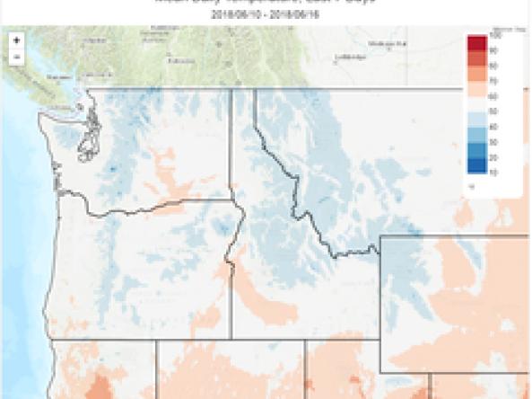
The Climate Toolbox is a collection of web tools for visualizing past and projected climate and projected climate and hydrology of the contiguous United States of America.

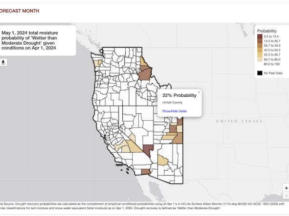
The Climate Toolbox’s Drought Recovery Tool allows users to investigate the probability of recovering from drought conditions in the Western U.S. based on past observations from 1920-2020. 

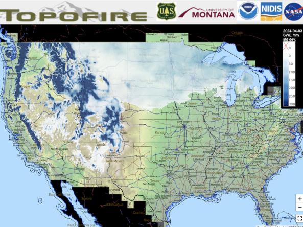
Topofire is a topographically resolved wildfire danger and drought monitoring system for the contiguous U.S. The Topofire model methodology considers terrain and solar radiation, thus better capturing the effect that terrain geometries have on the spatial distribution of energy inputs.