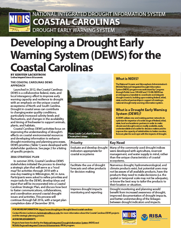
Launched in 2012, the Coastal Carolinas Drought Early Warning System (DEWS) is a collaborative federal, state, and local interagency effort to improve early warning capacity and resilience to drought with an emphasis on the unique coastal ecosystems of North and South Carolina. Drought in coastal areas can contribute to changing water quality conditions, particularly increased salinity levels and fluctuations, and changes in the availability and timing of freshwater to support animals, plants, and habitats.
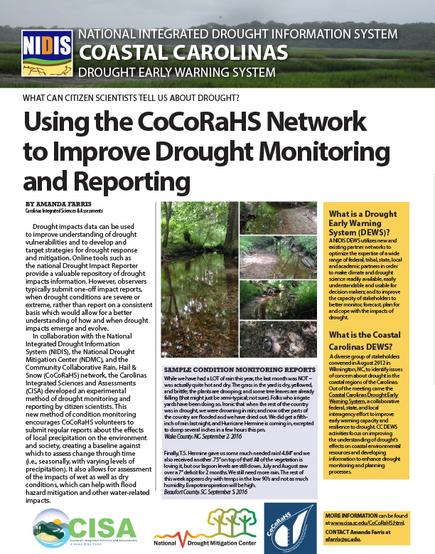
The Carolinas Integrated Sciences and Assessments (CISA) developed an experimental method of drought monitoring and reporting by citizen scientists. This method of condition monitoring encourages CoCoRaHS volunteers to submit regular reports about the effects of local precipitation on the environment and society, creating a baseline against which to assess change through time (i.e., seasonally, with varying levels of precipitation).
Overview of the North American Soil Moisture Database.
Soil taxonomy; how soil moisture is inventoried in Soil Survey; interpretations of data; research; how the data is used.
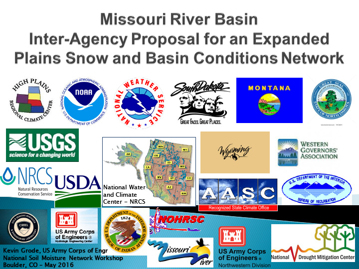
Soil moisture monitoring in the Missouri River Basin and how it can be used to develop better understanding of basin responses; the kinds of information the USACE is looking for.
Mission, issues and goals of USDA Climate Hubs.
How soil moisture monitoring can give insight into human health issues.
How soil moisture could assist in river forecasting.
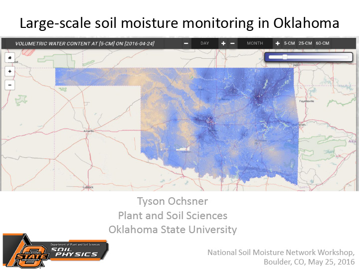
Overview of soil moisture monitoring in Oklahoma, primarily through Oklahoma Mesonet.
How US Drought Monitor authors use soil moisture monitoring data.