



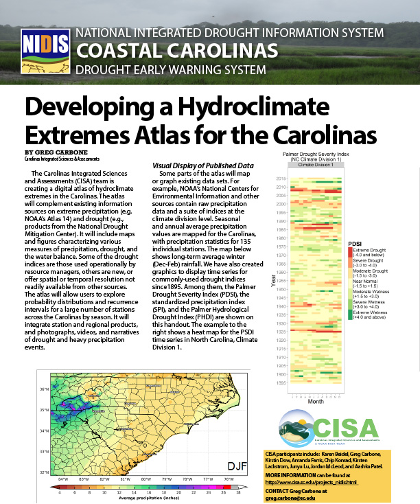
The Carolinas Integrated Sciences and Assessments (CISA) team is creating a digital atlas of hydroclimate extremes in the Carolinas. The atlas will complement existing information sources on extreme precipitation (e.g. NOAA’s Atlas 14) and drought (e.g., products from the National Drought Mitigation Center). It will include maps and figures characterizing various measures of precipitation, drought, and the water balance.
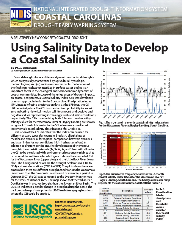
Coastal droughts have a different dynamic from upland droughts, which are typically characterized by agricultural, hydrologic, meteorological, and (or) socioeconomic impacts. The location of the freshwater-saltwater interface in surface-water bodies is an important factor in the ecological and socioeconomic dynamics of coastal communities. Because of the uniqueness of drought impacts on coastal ecosystems, a Coastal Salinity Index (CSI) was developed using an approach similar to the Standardized Precipitation Index (SPI).
NIDIS sponsored a planning meeting on June 2, 2016, in Wilmington, North Carolina to gather stakeholder input on the development of a Coastal Carolinas DEWS Strategic Plan. The meeting convened partners to:
How soil moisture monitoring can give insight into human health issues.
How soil moisture could assist in river forecasting.
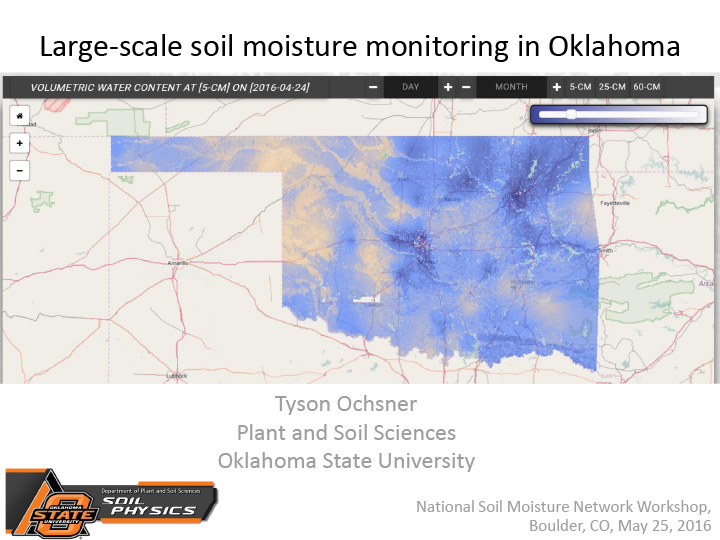
Overview of soil moisture monitoring in Oklahoma, primarily through Oklahoma Mesonet.
How US Drought Monitor authors use soil moisture monitoring data.
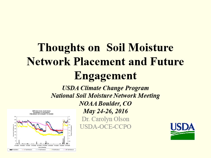
Climate Change and Environmental Justice Communities; USDA Environmental Strategic Goals for Communities at Risk.
Overview of the North American Soil Moisture Database.
Soil taxonomy; how soil moisture is inventoried in Soil Survey; interpretations of data; research; how the data is used.