U.S. flag

An official website of the United States government

NEWS ARCHIVE

Browse news articles

Published Date Between
Search Results(153)
Published on

Timely information on drought impacts is important for developing and evaluating drought indicators, documenting drought events, reducing future risks, and enhancing public awareness. To address needs for better understanding and monitoring of localized drought impacts, this study recruited volunteers from the Community Collaborative Rain, Hail and Snow (CoCoRaHS) network to report on how weather and recent precipitation affected their local environments and communities. The study found that the reporting of conditions across a wet-to-dry scale by the CoCoRaHS volunteers reflect meteorological conditions, and provide on-the-ground details that are being incorporated into existing drought monitoring processes.

Published on

On August 25, 2022, South Dakota State University hosted a ribbon cutting ceremony to celebrate the expansion of the mesonet at South Dakota State, South Dakota's live weather network, as part of the Upper Missouri River Basin Soil Moisture and Plains Snow Build-Out project. This project, led by the U.S. Army Corps of Engineers, is a key initiative of the NIDIS-sponsored National Coordinated Soil Moisture Monitoring Network (NCSMMN).

Published on

The American Meteorological Society is hosting its 103rd annual meeting on January 8–12, 2023, in Denver, Colorado. This year, the meeting will focus on the theme, "Data: Driving Science. Informing Decisions. Enriching Humanity.” The National Integrated Drought Information System (NIDIS) and its partners are excited to co-chair several sessions related to drought analysis and prediction, flash drought, service delivery lessons, and translating climate science into action. 

Published on

NOAA’s National Centers for Environmental Information (NCEI) continues its partnership with the NASA DEVELOP Program, working with early-career scientists and university students. This nationwide program uses NASA Earth observations to address diverse environmental issues impacting communities. At the DEVELOP NCEI location, participants work on projects that focus primarily on climate applications and incorporate NCEI climate data. The NCEI teams partner with the National Integrated Drought Information System (NIDIS) to support drought-focused projects each year. 

This summer, NCEI has two NASA DEVELOP groups, one of which is using satellite data to assess water availability and inform habitat monitoring in the western Sonoran Desert.

Published on

This summer’s western wildfire season is likely to be more severe than average but not as devastating as last year’s near-record, according to an experimental prediction method developed by scientists at the National Center for Atmospheric Research (NCAR). The new method, detailed in a peer-reviewed study, analyzes precipitation, temperatures, drought, and other climate conditions in the winter and spring in order to predict the extent of wildfires across the western United States during the following summer.

Published on

Increases in atmospheric water demand results in more water being drawn from the land surface into the atmosphere through evaporation and transpiration from plants, which can limit the amount of water available to humans and ecosystems, especially in arid regions where less water is available in the first place. Rsearchers from the Desert Research Institute, with funding from NIDIS, conducted a study to answer three questions: (1) how much has evaporative demand changed across the continental U.S., (2) how consistent are the observed changes among different commonly used datasets, and (3) what climate variables are predominantly driving this change? To do this, they quantified reference evapotranspiration (ETo), which is a standardized measure of evaporative demand that would occur across an idealized and specific well-watered ‘reference’ surface composed of short grass. 

Published on

NASA DEVELOP is a nationwide program that utilizes NASA Earth observations to address diverse environmental issues impacting communities. This spring, the NASA DEVELOP NCEI team is building upon the fall 2021 project by continuing work on evapotranspiration and water balance climatologies for the Midwestern United States.

Published on

The Apalachicola, Chattahoochee, and Flint (ACF) Rivers, along with the Apalachicola Bay, link the people and natural systems of Alabama, Florida, and Georgia. In response to a request by regional stakeholders, and in close partnerships with state and regional partners, NOAA’s National Integrated Drought Information System (NIDIS) has launched the new ACF River Basin Drought and Water Dashboard and ACF Drought Story Map.

Published on

NIDIS drought email alerts provide up-to-date local drought information right to your inbox. Since the launch of the new Drought.gov at the beginning of 2021, NIDIS has partnered with NOAA’s National Centers for Environmental Information (NCEI) to deliver these alerts with the latest changes to local U.S. Drought Monitor conditions. Now, NIDIS and NCEI are expanding this climate service by providing information on the latest drought outlooks.

Published on

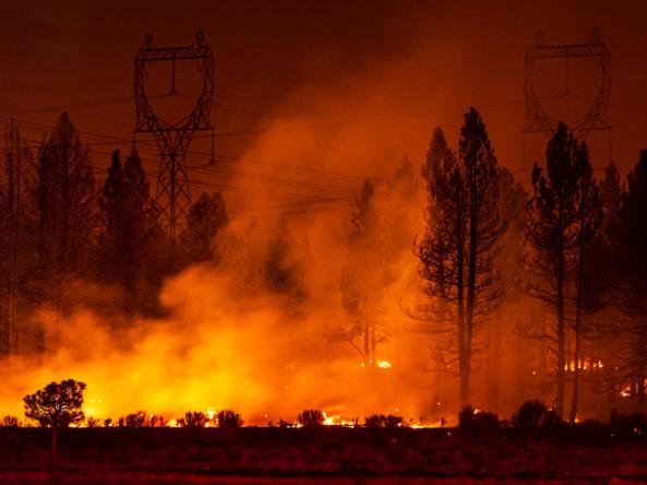
Although wildfire is part of the natural ecosystem cycle over the western U.S., its intensity and frequency has been increasing at an alarming rate in recent decades. A new study shows that climate change is the main driver of this increase in fire weather in the western United States. And even though wetter and cooler conditions could offer brief respites, more intense and frequent wildfires and aridification in the western states will continue with rising temperatures.