U.S. flag

An official website of the United States government

Document Preview
Document Date
June 26, 2018
Document Description

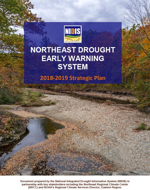
Introduction to the Northeast Drought Early Warning System

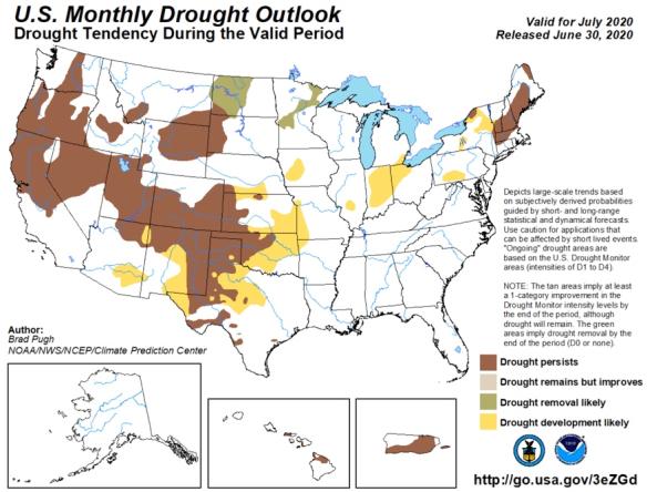
The monthly and seasonal (3-month) outlook for drought tendency from the Climate Prediction Center (CPC), which depicts large-scale trends based on subjectively derived probabilities guided by shor

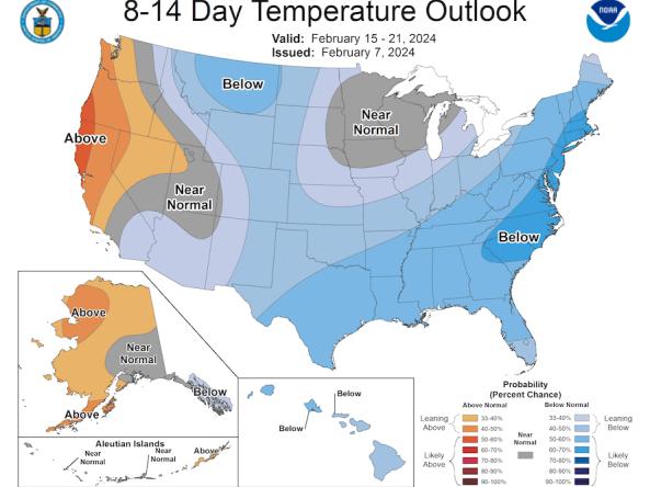
The Climate Prediction Center (CPC) produces temperature and precipitation outlooks for the U.S., including 6-10 day, 8-14 day, monthly, and seasonal outlooks.

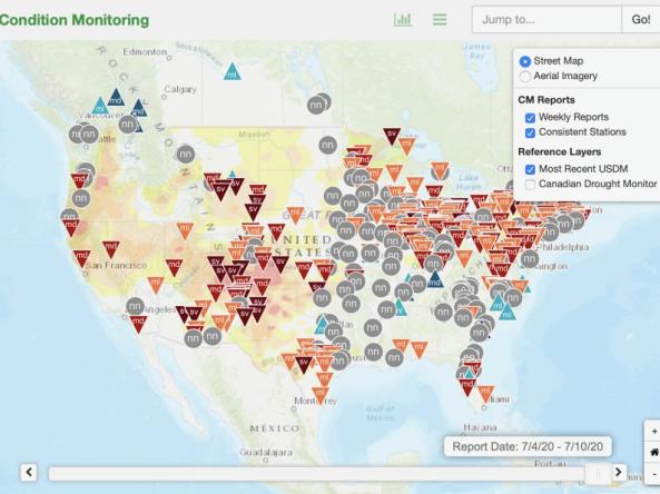
This condition monitoring map is a tool intended to depict local, community-level conditions and how recent weather and climate events have affected those communities. 

Document Preview
Document Date
June 21, 2017
Document Description

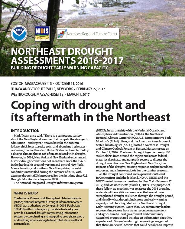
The National Integrated Drought Information System (NIDIS), in partnership with the National Oceanic and Atmospheric Administration (NOAA), the Northeast Regional Climate Center (NRCC), and the American Association of State Climatologists (AASC), hosted three Northeast Drought and Climate Outlook Forums as record-breaking drought expanded in the Northeast in 2016-2017. Participants included stakeholders from around the region and across federal, state, local, private, and nonprofit sectors.

Document Preview
Document Date
June 19, 2017
Document Description

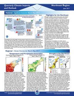
Quarterly Climate Impacts and Outlook for the Northeast Region for March – May 2017.  Dated June 2017.

Document Preview
Document Date
October 1, 2015
Document Description

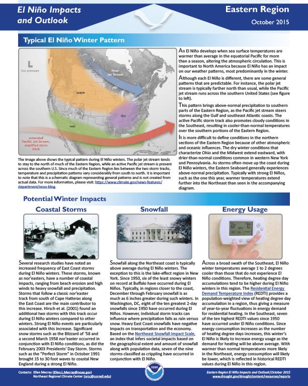
El Nino Impacts and Outlook – Eastern Region, October 2015.

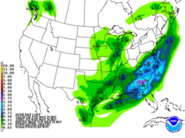
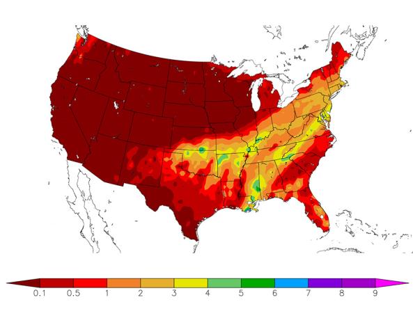
NWS WPC produces Quantitative Precipitation Forecasts (QPFs) that depict the amount of liquid precipitation expected to fall in a defined period of time.

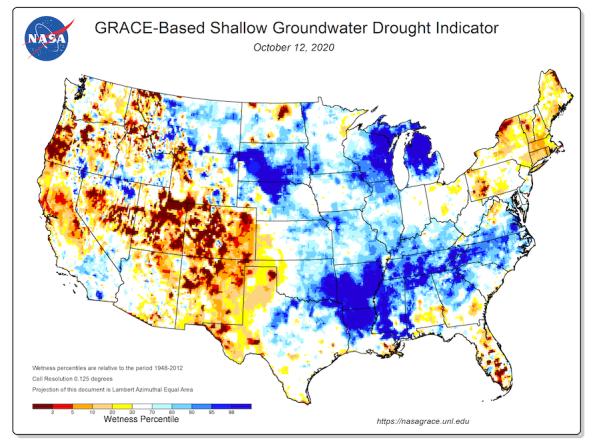
Groundwater and soil moisture drought indicators based on terrestrial water storage observations derived from GRACE satellite data and integrated with other observations, produced each week by NASA

HPRCC produces daily climate maps using data from the Applied Climate Information System (ACIS). The maps and data can be accessed and downloaded from the HPRCC website.


Subscribe to Northeast