

Quarterly Climate Impacts and Outlook for the Western Region for September – November 2020. Dated December 2020.
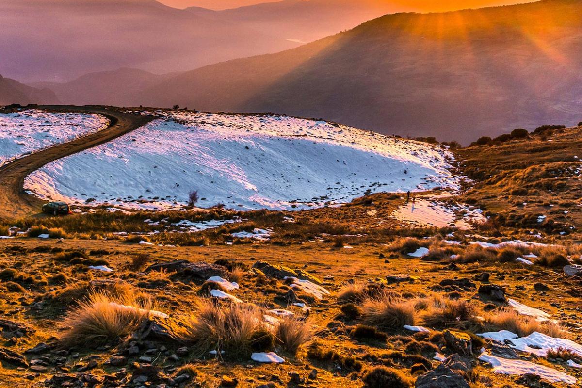
Temperatures were above-average during the fall west of the Rocky Mountains, favored by a strong high pressure ridge anchored along the coast. Although fall is typically dry in the southern half of the West, the persistent ridge prevented landfalling Pacific storms, leading to well-below normal precipitation in many regions.

Provides information on the typical La Niña winter pattern; the La Niña outlook; potential impacts; and comparisons of conditions during previous La Niña years.
NOAA’s Regional Climate Services Program created these outlooks to inform the public about climate impacts within their respective regions. Each regional report contains easy-to-understand language, and anyone can access them through the Drought Portal.

This water year recap and drought & climate webinar summary was originally sent via email to the California-Nevada DEWS email list.

Conditions Favor El Niño this Winter: Significant drought expected to lessen in parts of the Southwest and persist in others.
From October 2017 to September 2018, the Southwestern U.S. experienced below-normal to record-low precipitation.
Long-term precipitation deficits and record-high temperatures have contributed to very low streamflows and reservoir levels.
Conditions favor the development of El Niño this winter, but significant drought is expected to persist in most of Utah and Colorado.
WATER YEAR (OCTOBER 2017-SEPTEMBER 2018)

Extreme Drought Entrenched in the Four Corners. Weak El Niño Expected through Winter and Spring.
- Extreme drought remains entrenched in the Four Corners area of the Southwest.
- Recent above-normal precipitation has resulted in some drought improvement in eastern areas of Colorado and New Mexico.