U.S. flag

An official website of the United States government

Event Date
April 13, 2026
1:00 pm - 2:00 pm
Location
Virtual

During this seminar, Richard Seager with Lamont-Doherty Earth Observatory of Columbia University will present on the use of an atmosphere model forced by plausible sea surface temperature scenarios to examine the mechanisms of aridification that connect, across seasons, the ocean, atmosphere, and land surface.

Event Date
June 8, 2026
Location
Asheville, North Carolina

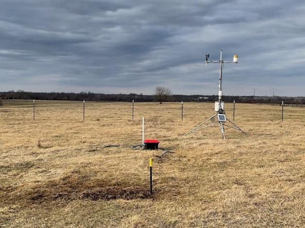
Please join us for a pre-workshop meeting, Improving Communication of Soil Moisture Information, ahead of the 2026 National Soil Moisture Workshop in Asheville, North Carolina.

Event Date
June 9, 2026 - June 11, 2026
Location
Asheville, North Carolina

Please join us for the 2026 National Soil Moisture Workshop, which is scheduled for June 9-11, 2025 at the University of North Carolina at Asheville in Asheville, North Carolina.

A team of scientists at the NASA Goddard Space Flight Center conducted research to quantify the relative importance—or “drought explainability”—of specific indicators with respect to the U.S. Drought Monitor.

Published on

Actionable, user-friendly, and reliable information is essential for risk-informed decision-making across the Mississippi River Basin. In response to impacts of drought in the region, NOAA’s National Integrated Drought Information System (NIDIS) built a Mississippi River Basin Drought and Water Dashboard

Published on

In the Upper Missouri River Basin (UMRB), catastrophic floods and droughts between 2011 and 2017 highlighted the need for more and better water information to respond to extremes from both sides of the water supply spectrum. But there is a challenge: Monitoring drought typically involves looking at hydrological indicators, like soil moisture and snowpack, through the lens of historical conditions for a given location. The Upper Missouri River Basin Soil Moisture and Snow Maps Dashboard demonstrates an approach for communicating soil moisture and snowpack data when only short periods of record are available.

Event Date
August 12, 2025
11:00 am - 12:00 pm
Location
Virtual

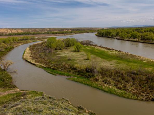
South Dakota State University and NOAA’s National Integrated Drought Information System (NIDIS) invite you to learn about a new tool for monitoring drought in the Upper Missouri River Basin (UMRB): UMRB Soil Moisture and Snowpack Maps.

Published on

The 16th annual National Soil Moisture Workshop was hosted by the U.S. Department of Agriculture - Agricultural Research Service (USDA ARS) and NOAA's National Integrated Drought Information System (NIDIS), in partnership with the US Forest Service and Colorado State University. The theme for the June 3–5 meeting was “making soil moisture science actionable.” With 90 in-person participants, this was one of the largest turn outs to date.

Published on

Drought and heat often appear together, but new research funded by NOAA’s National Integrated Drought Information System found that drought can lengthen heat waves occurring at the same time.

Published on

The state of Missouri is working to better track water from the sky into the soil, in the hopes that expanded soil moisture data across the state can help decision-makers better predict, prepare for, and track both drought and flood events. 

Subscribe to Soil Moisture