U.S. flag

An official website of the United States government

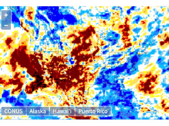
The Global Gridded Standardized Precipitation Index (SPI) is derived from the CMORPH daily dataset and includes timescales of 1, 3, 6 and 9 months.  The NOAA CMORPH precipitatio

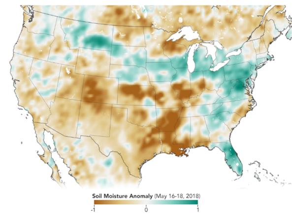
The Soil Moisture Active Passive (SMAP) mission is an orbiting observatory that measures the amount of water in the top 5 cm of soil everywhere on the Earth’s surface every 3 days.

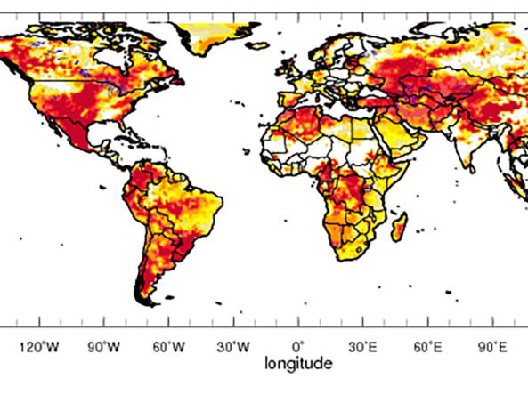
Global drought prediction and analysis tools produced by IRI in collaboration with NOAA CPC, and the University of Maine.


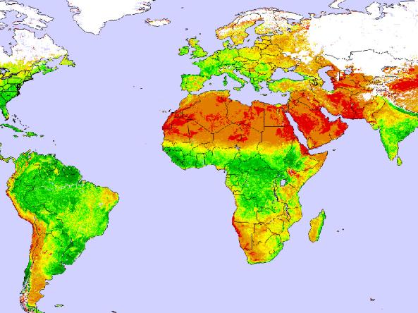
Global and Regional Vegetation Health (VH) is a NOAA/NESDIS system estimating vegetation health, moisture condition, thermal condition and their products.

The NOAA Climate Prediction Center's El Niño-Southern Oscillation (ENSO) Diagnostic Discussion provides a synopsis of current ENSO conditions and outlooks for the coming seasons.

A selection of worldwide maps monitoring different aspects of vegetation health.

Climate Engine allows users to analyze and interact with climate and earth observations for decision support related to drought, water use, agricultural, wildfire, and ecology.

Worldwide predictions for temperature and precipitation from the International Research Institute (IRI) for Climate and Society at Columbia University.

U.S. NIC provides snow maps produced using the Interactive Multisensor Snow and Ice Mapping System (IMS) depicting the extent of daily snow and ice coverage in the Northern Hemisphere.

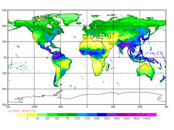
The GPCC provides unrestricted access to its monthly gridded precipitation data sets for climate monitoring purposes and related research.

Subscribe to Global