




Logo

Site Section
Partner
South Dakota Mesonet
An Agency/Organization of:
Related Data & Maps
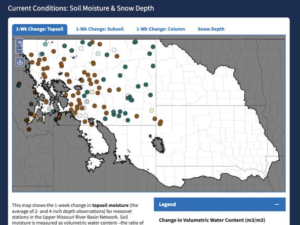
The Upper Missouri River Basin Soil Moisture and Snowpack Dashboard displays interactive maps of station-based soil moisture and snowpack data from the five state mesonets in the Upper Missou
Related News
Site Section
News & Events
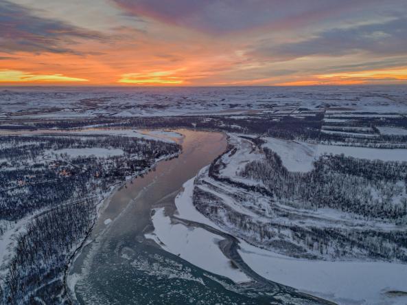
In the Upper Missouri River Basin, which includes sections of Montana, Wyoming, Nebraska, and the Dakotas, one of the most important reservoirs is underneath your feet. Snowpack and soil moisture form enormous natural reservoirs whose water storage can be challenging to estimate. The accuracy of these estimates, however, are critical for drought and flood preparedness. Led by NOAA’s National
Site Section
News & Events
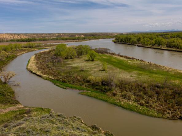
When it comes to managing water, there’s a “Goldilocks problem”: runoff frequently delivers far too much or far too little water to the landscape. In the Upper Missouri River Basin (UMRB), catastrophic floods and droughts between 2011 and 2021 highlighted the need for more and better water information to deliver earlier warnings and respond to extremes from both sides of the water supply spectrum
Site Section
News & Events
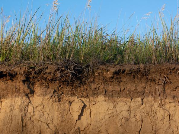
The National Integrated Drought Information System (NIDIS) is pleased to release A Strategy for the National Coordinated Soil Moisture Monitoring Network: Coordinated, High-Quality, Nationwide Soil Moisture Information for the Public Good (also known as the “NCSMMN Strategy”). Developed in part to fulfill the requirements of the NIDIS Reauthorization Act of 2018 (P.L. 115-423
Related Documents
Document Preview

Document Date
June 2021
Document Preview

Document Date
June 2021