Gridded Climate Datasets: Applied Climate Information System (ACIS) NRCC Interpolated (Grid 1)
National Oceanic and Atmospheric Administration (NOAA) Northeast Regional Climate Center (NRCC)
Developed and maintained by NOAA’s Regional Climate Centers, the Applied Climate Information System (ACIS) integrates historical climate information and near real-time climate data together to produce quality products to assess historical climate trends, enhance daily operational decisions, or assist with any number of climate-dependent activities. ACIS climate data are based on in situ observations collected from a variety of federal, regional, state, and local networks, including both archive-quality historical data (e.g., the Global Historical Climate Network) and near real-time data ingested from operational data transmission streams. I
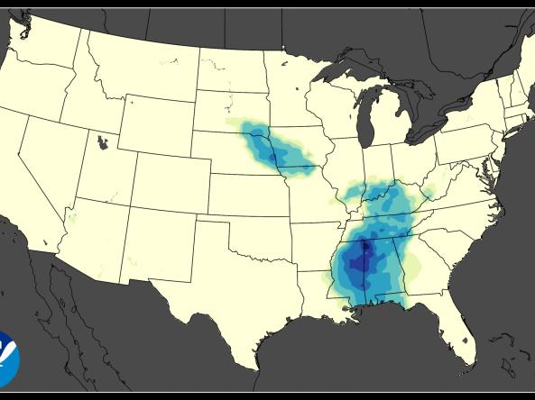
This gridded ACIS dataset from the Northeast Regional Climate Center (NRCC)—NRCC Interpolated (Grid 1)—consists of daily station data available via ACIS Web Services interpolated to a 30 arc second grid.
This gridded dataset has a 5km spatial resolution, is updated daily, and has a period of record from 1950–present. Station data for AM reporting stations are interpolated using the Natural Neighbor Method. (Prior to 1981, no filtering for AM reporters is done due to insufficient data coverage.)
Documentation
- ACIS Overview
- ACIS Data Sources
- ACIS Gridded Datasets (NRCC Interpolated (Grid 1)
- Data Synchronization