U.S. flag

An official website of the United States government

DATA & MAPS

Select categories to browse data

Looking to Download Data? The Drought.gov team reformats data from multiple partners into web- and GIS-ready formats, which we use throughout Drought.gov. These data are free for all to download.
Search Results(13)

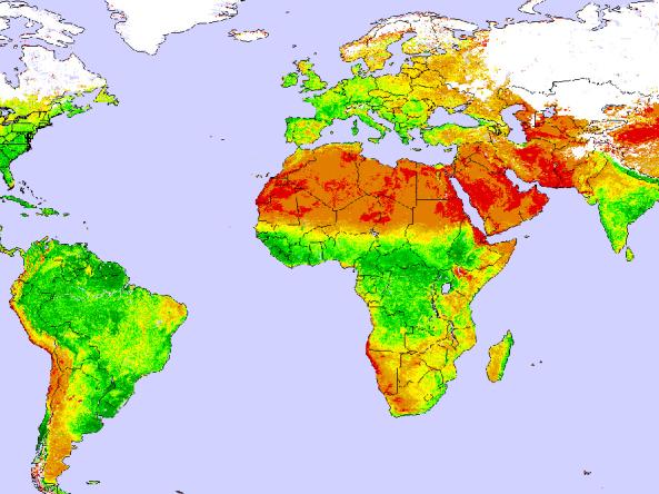
Global and Regional Vegetation Health (VH) is a NOAA/NESDIS system estimating vegetation health, moisture condition, thermal condition and their products.

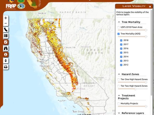
Interactive map shows results of 2012-2018 aerial tree-mortality surveys: numbers of dead trees per acre, high hazard zones, asset locations and more information related to drought-caused tree

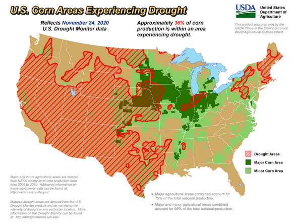
The U.S. Department of Agriculture produces weekly maps and charts displaying locations and percentages of drought-affected areas corn, soybeans, hay, cattle, and winter wheat. 

U.S Forest Service Cumulative Drought Severity Index (CDSI): allows users to compare the severity of droughts experienced by different forest ecosystems between two periods, 1960-1986 & 1987-20