U.S. flag

An official website of the United States government

DATA & MAPS

Select categories to browse data

Looking to Download Data? The Drought.gov team reformats data from multiple partners into web- and GIS-ready formats, which we use throughout Drought.gov. These data are free for all to download.
Search Results(191)

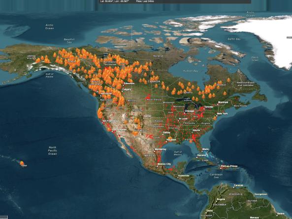
The Fire Information for Resource Management System (FIRMS) US/Canada is a joint effort by NASA and the U.S. Forest Service to provide access to low latency satellite imagery and science data products from earth observation system satellite assets.

Fire Research And Management Exchange System (FRAMES) provides a method of exchanging information and transferring technology among wildland fire researchers, managers, and other stakeholders in an online environment.

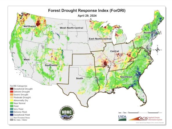
The Forest Drought Response Index (ForDRI) is a new combined indicator tool to identify and characterize forest drought stress. The ForDRI presents a weekly depiction of drought-related forest stress across the continental U.S. 

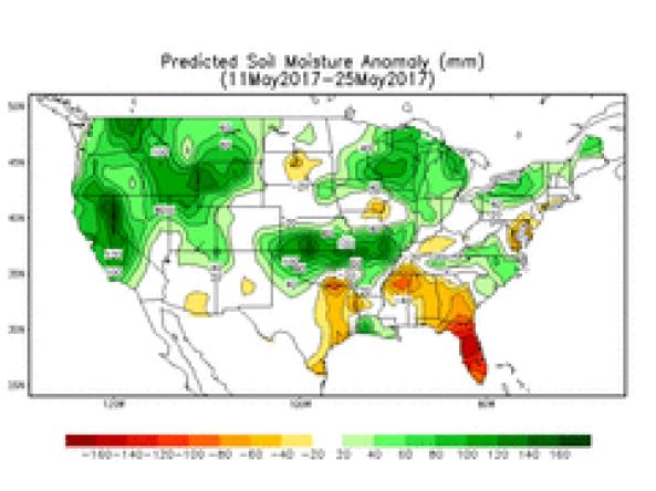
A soil moisture tool for the next 2 weeks based on the National Weather Service (NWS) Global Forecast System (GFS) model.