




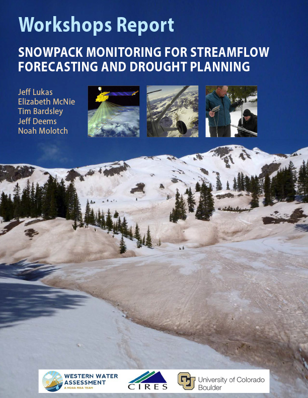
For water providers and others in the Rocky Mountain West who depend on the pulse of runoff from the melting snowpack from April through July, snowpack monitoring is drought monitoring. A well below average snowpack as measured by snow-water equivalent (SWE) is a harbinger of not only low water supply but also other drought impacts, such as increased fire risk and below-normal summer soil moisture.
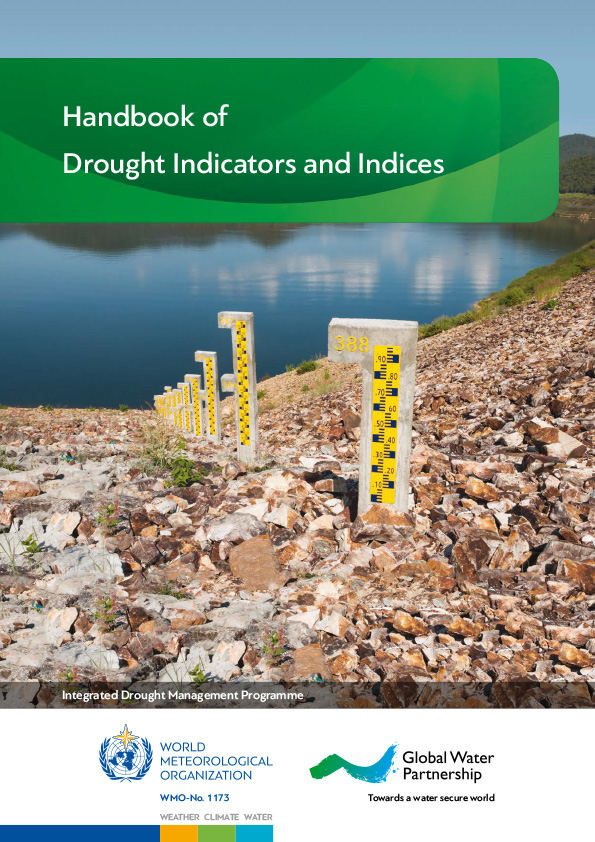
The purpose of this handbook is to cover some of the most commonly used drought indicators/indices that are being applied across drought-prone regions, with the goal of advancing monitoring, early warning and information delivery systems in support of risk-based drought management policies and preparedness plans.
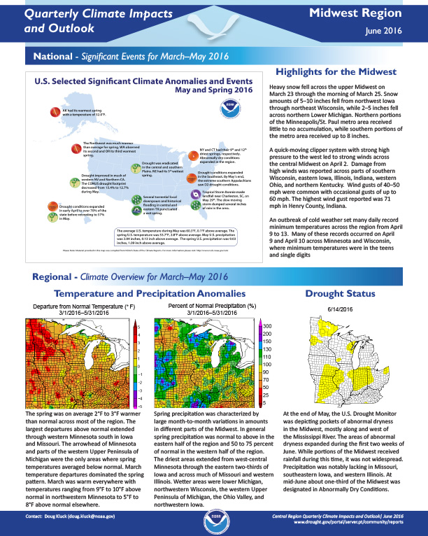
Quarterly Climate Impacts and Outlook for the Midwest Region for March – May 2016. Dated June 2016.
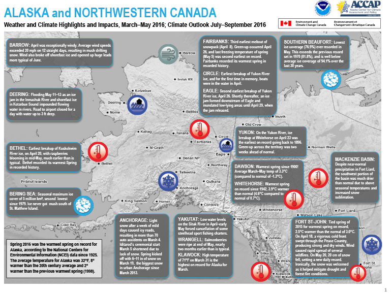
Quarterly Climate Impacts and Outlook for Alaska and Northwestern Canada for March – May 2016. Dated June 2016.
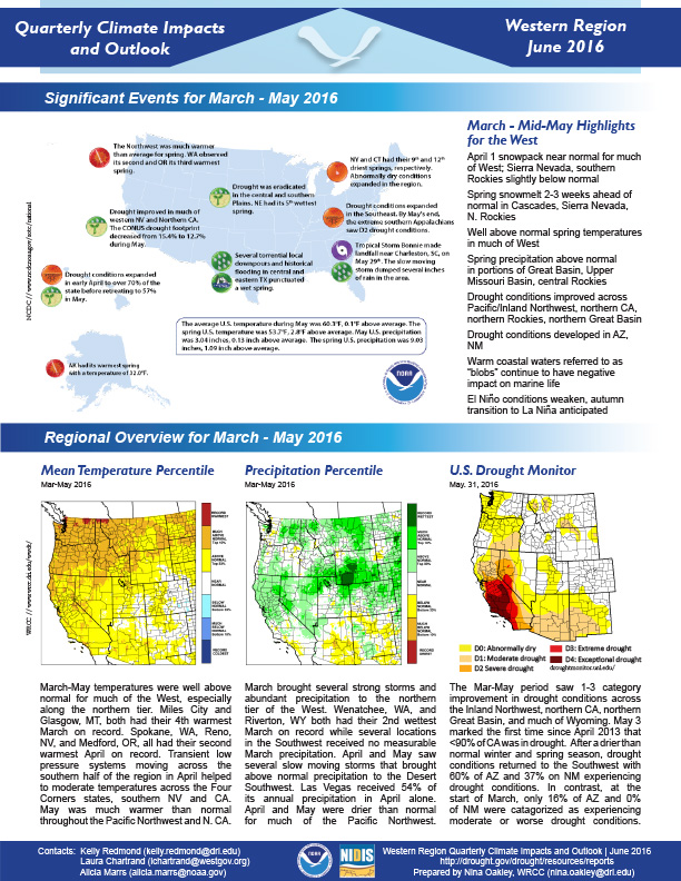
Quarterly Climate Impacts and Outlook for the Western Region March – May 2016. Dated June 2016.
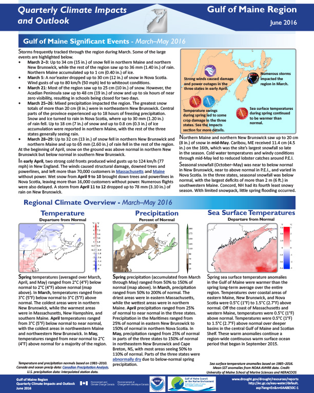
Quarterly Climate Impacts and Outlook for the Gulf of Maine Region for March – May 2016. Dated June 2016.
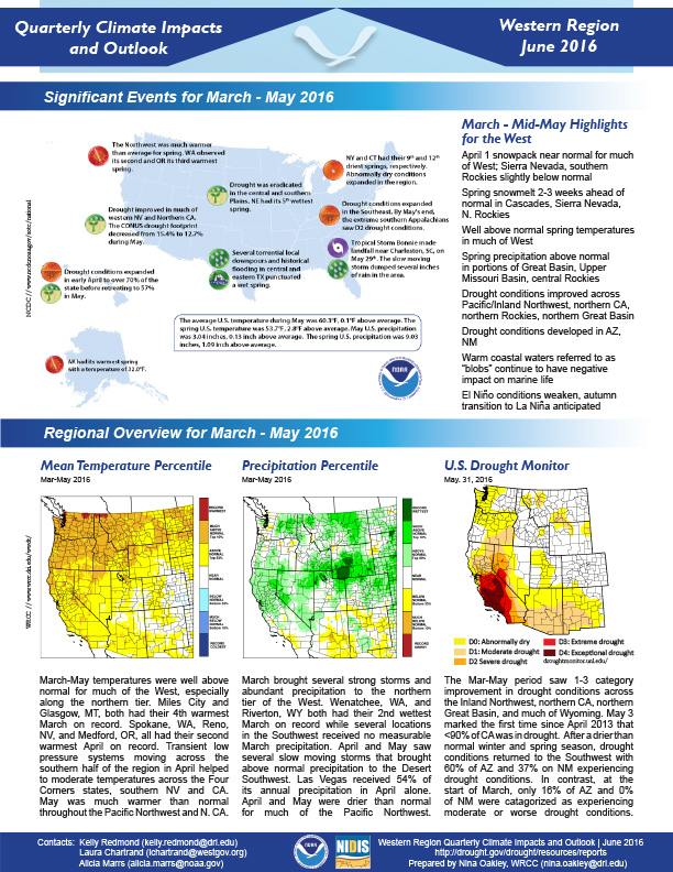
Quarterly Climate Impacts and Outlooks for the Pacific Region for March – May 2016. Dated June 2016.
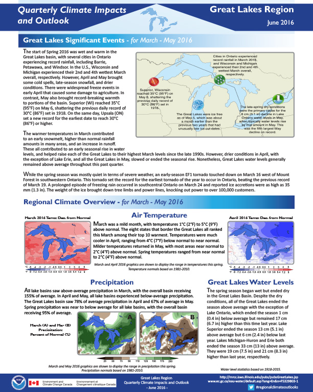
Quarterly Climate impacts and Outlook for the Great Lakes Region for March – May 2016. Dated June 2016.
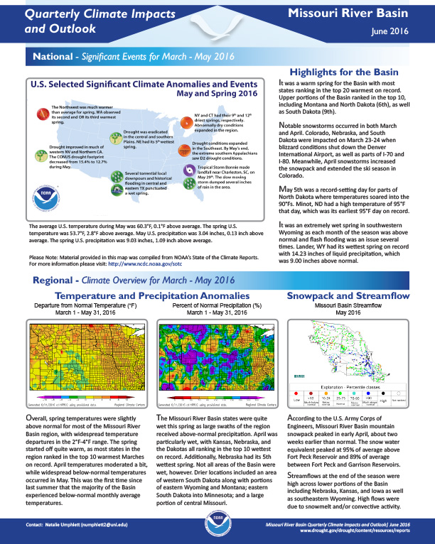
Quarterly Climate Impacts and Outlook for the Missouri River Basin March – May 2016. Dated June 2016.