NASA DEVELOP Team Assesses Water Availability in the Sonoran Desert
NOAA’s National Centers for Environmental Information (NCEI) continues its partnership with the NASA DEVELOP Program, working with early-career scientists and university students. This nationwide program uses NASA Earth observations to address diverse environmental issues impacting communities. At the DEVELOP NCEI location, participants work on projects that focus primarily on climate applications and incorporate NCEI climate data. The NCEI teams partner with the National Integrated Drought Information System (NIDIS) to support drought-focused projects each year.
This summer, NCEI has two NASA DEVELOP groups, one of which is using satellite data to assess water availability and inform habitat monitoring in the western Sonoran Desert.
The western Sonoran Desert, which covers parts of Arizona, California, and northern Mexico, is one of the driest areas in North America. The Western Sonoran Desert Team will look at the rock pool ecosystems, also known as tinajas, in the western Sonoran Desert using climate information derived from satellites. Tinajas, Spanish for clay jars, are crucial features of the desert environment and provide rare and necessary surface water that seasonally disappears. The team will evaluate climate variables for 20 known tinajas over the last 30 years from products such as NOAA’s U.S. Climate Gridded Dataset (NClimGrid) and Gridded Surface Meteorological (gridMET), to give a holistic assessment of the seasonal shifts for the region’s water availability. The team will work with the University of Arizona and the National Park Service to support habitat monitoring and mitigation efforts for the freshwater habitats of the Sonoran Desert.
Western Sonoran Desert Team
 Deirdre “Dee” An is a graduate of North Carolina State University (NCSU) with two Bachelor of Science degrees in Environmental Science and Plant Biology. She is currently a NCSU graduate student studying Geospatial Information Science and Technology. After completing her undergraduate studies, An was an intern with E&J Gallo Winery where she used remote sensing to analyze irrigation needs in the vineyards. She has also worked as an Extension Agent for the North Carolina Cooperative Extension and the City of Raleigh where she used mapping tools to educate community members on the impact of local food and sustainability programs. In her current graduate program, she has also partnered with the City of Raleigh to create a city planning mapping system for engineers and contracting agencies.
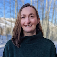 Annie Britton is a graduate of John Hopkins University (JHU) with a Bachelor of Arts in Anthropology and a minor in Environmental Studies. She is currently a JHU graduate student studying Environmental Science and Policy. As an undergraduate student, Britton researched sedimentation rates and ragweed pollen in cores taken from the Chesapeake Bay, sparking her interest in plant ecology and climatology. This is Britton’s second NASA DEVELOP term as she participated in the spring 2022 Goddard Space Flight Center’s Arizona Water Resources project assessing juniper tree die-off north of Flagstaff, Arizona.
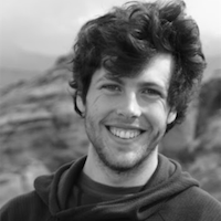 Seamus Geraty is a graduate of the University of Denver with two bachelor degrees in International Development and Global Health, and Geography. Geraty’s research interests during his undergraduate program included the study of tree rings to look at past climate conditions, mapping the herding routes of the Quechuan people by looking at historic tree carvings, and highlighting voting access inequities for marginalized communities. Since his graduation, Geraty has led a Southwest Conservation Corps crew working on invasive species mitigation and supported GIS, remote sensing, and machine learning projects through DevGlobal Partners.
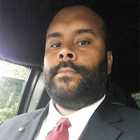 Charles “Charlie” Nixon is a graduate of Southern Connecticut State University with a Bachelor of Science in Geology and a minor in Environmental Studies and French. Nixon is currently a North Dakota State University doctoral student studying Environmental and Conservation Science. Before starting his doctoral program, Nixon worked for the engineering firm, AECOM, as a geologist and supported soil remediation and environmental construction projects at industrial sites. At AECOM, Nixon also participated in groundwater monitoring activities at gas stations around New England to perform testing and maintenance of pump-and-treat systems.
Read the NCEI news article about this project, or explore more NIDIS-supported interdisciplinary research.


