NASA DEVELOP Supports Drought Monitoring in the Midwest
The NASA DEVELOP team at NOAA's National Centers for Environmental Information (NCEI) is hard at work using satellite data to study seasonal water variability in the Midwest.
NASA DEVELOP is a nationwide program that utilizes NASA Earth observations to address diverse environmental issues impacting communities. With NCEI, early-career scientists and university students work on projects that focus primarily on climate applications and incorporate NCEI climate data.
This spring, the NASA DEVELOP NCEI team is building upon the fall 2021 project by continuing work on evapotranspiration and water balance climatologies for the Midwestern United States. These climatologies will help the region better determine the seasonal availability of water and monitor the evolution of drought conditions. The Midwest is the world’s most expansive region of corn and soybean production, and understanding the seasonal water variability of the region is vital for determining irrigation schedules, growing seasons, and general ecosystem health.
To better understand regional climate and water budget trends, the team at NCEI will work with partners representing the USDA Midwest Climate Hub, Minnesota Department of Agriculture, Michigan State University, the Illinois State Water Survey, and National Integrated Drought Information System (NIDIS). Using Terra Moderate-Resolution Imaging Spectroradiometer (MODIS), Gridded Surface Meteorological (gridMET), and on-the-ground monitoring station observations, the team will evaluate seasonal variability and trends in the Midwest’s hydrologic cycle.
NIDIS has been involved with the NASA DEVELOP program hosted at NCEI since 2018 and supports drought-focused NASA DEVELOP projects each year. Additionally, NIDIS regional coordinator Molly Woloszyn is the lead science advisor for NASA DEVELOP’s NCEI location. Molly plays a vital role in the development and execution of the NCEI projects, helping gather project ideas, connecting with partners, and advising the NCEI fellow and participants.
Spring 2021 Team Members:
 Addison Pletcher is a graduate of Michigan State University (MSU) with a bachelor of science in Environmental Geoscience. During Pletcher’s studies, she spent two years at the MSU Hydrogeology Lab working on identifying non-agricultural related hotspots of fertilization to better understand algae events for the Great Lakes and completed an undergraduate honors thesis on eolian sediments in the preservation of cultural horizons on the Coastal Plain of North Carolina. This is Pletcher’s second term with NASA DEVELOP, as she also worked on the summer 2021 Highland Lakes Water Resources project to improve detection systems for harmful algal events in the Highland Lakes of Central Texas.
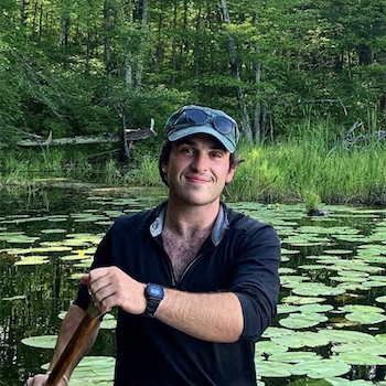 Max Rock is a graduate of the University of Wisconsin–Milwaukee (UW) with a bachelor of arts in Geography. He is currently a UW graduate student studying GIS/Cartography and Web Map Programming. During Rock’s undergraduate program, he developed a research project on the hydrological impact of the North American Beaver on the Milwaukee River Watershed that is still running. Aside from his research, Rock has supported the creation of a conservation non-profit, The Superior Bio-Conservancy, which aims to advocate and design wildlife corridors in the Northwoods bio-region of Michigan, Wisconsin, and Minnesota.
 Erin Shives is a graduate of San Diego State University, where she earned a bachelor’s in Interdisciplinary Sustainability Studies with a focus in Geography and Environmental Policy. During her senior year, Shives worked on a project with the City of Santee, California, measuring the impacts of Mast Park’s restoration by assessing land use and land cover changes. Her interest in the field led her to take courses specializing in advanced watershed analysis, geographic information systems, and data science. This is her third term with NASA DEVELOP. She worked with the fall 2021 NCEI team and the summer 2021 team in Boston, which looked at landslide susceptibility and flooding along the Ohio-Kentucky border.
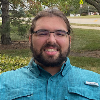 Alec Solberg is pursuing a master’s in Geography and Environmental Studies at Northeastern Illinois University, where he also earned a bachelor’s in Earth Science. His graduate research focuses on decision support systems for the Rio Grande region. Solberg has experience with API coding and geoprocessor scripting. He has used satellite imagery to assess vegetation index accuracy. This is Solberg’s second time in the NASA DEVELOP Program as he was a member of the fall 2021 NCEI team.
Read the NCEI news article about this project, or explore more NIDIS-supported interdisciplinary research.