

The National Weather Service developed 2021 Spring Hazard Outlooks in coordination with the National Centers for Environmental Information, National Integrated Drought Information System (NIDIS), U.S. Department of Agriculture, National Weather Service River Forecast Centers, and National Interagency Fire Centers' Geographic Area Coordination Centers. This outlook highlights the various Spring hazards that could occur and potential impacts across the Missouri River Basin.

The National Weather Service developed 2021 Spring Hazard Outlooks in coordination with the National Centers for Environmental Information, National Integrated Drought Information System (NIDIS), U.S. Department of Agriculture, National Weather Service River Forecast Centers, and National Interagency Fire Centers' Geographic Area Coordination Centers. This outlook highlights the various Spring hazards that could occur and potential impacts across the Mountain West.


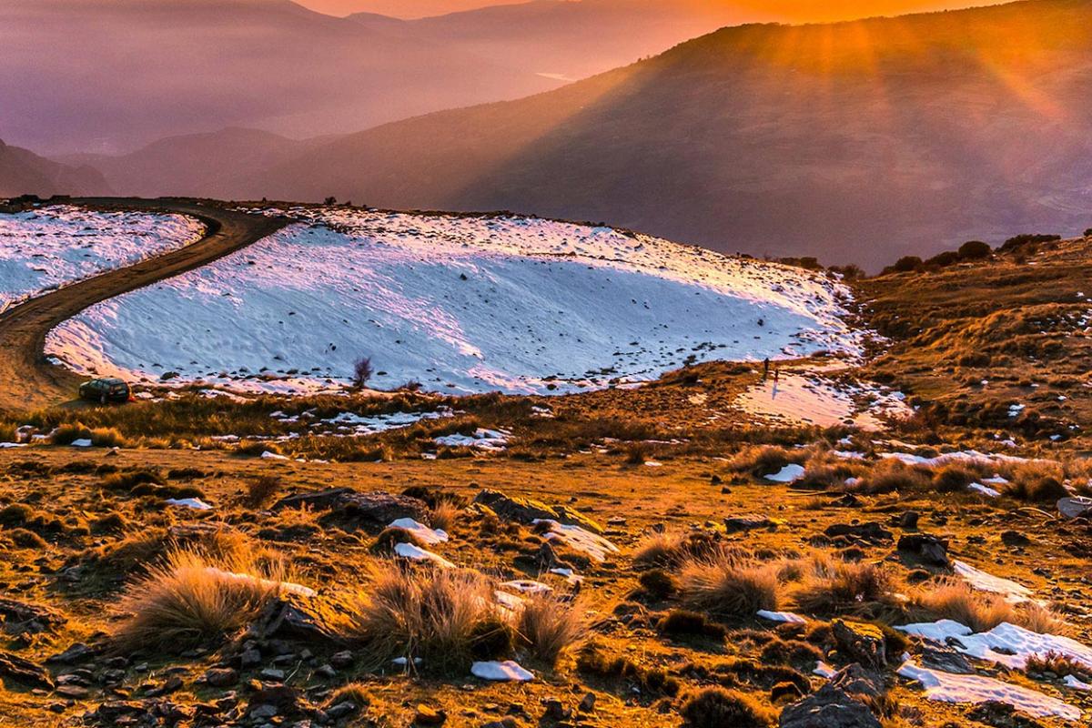
In the Rocky Mountain West, monitoring the evolution of the snowpack over the course of the winter and spring is critical to forecasting streamflow and managing water supply as well as fisheries management and guided rafting.


Quarterly Climate Impacts and Outlook for the Western Region for September – November 2020. Dated December 2020.
Temperatures were above-average during the fall west of the Rocky Mountains, favored by a strong high pressure ridge anchored along the coast. Although fall is typically dry in the southern half of the West, the persistent ridge prevented landfalling Pacific storms, leading to well-below normal precipitation in many regions.