U.S. flag

An official website of the United States government

The U.S. government is closed. This site will not be updated; however, NOAA websites and social media channels necessary to protect lives and property will be maintained. To learn more, visit commerce.gov.

For the latest forecasts and critical weather information, visit weather.gov.

SNODAS provides estimates of snow cover, depth, snow water equivalent (SWE) and associated variables to support hydrologic modelling and analysis.

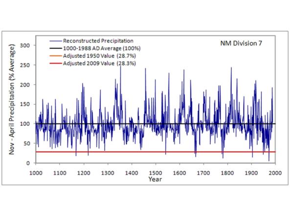
This CLIMAS Southwest Paleoclimate Tool provides detailed paleoclimate information for Arizona and New Mexico. 

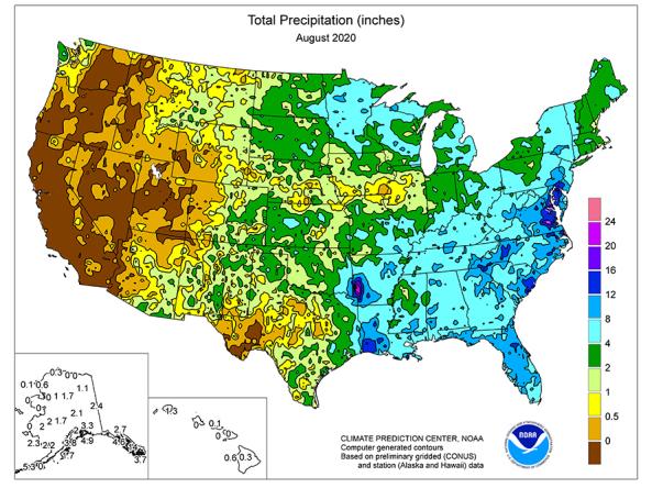
Regional weekly, one-, three-, and twelve-month maps depicting total precipitation, percent of normal precipitation, average temperature, maximum and minimum temperatures, and departures from normal, produced by CPC.

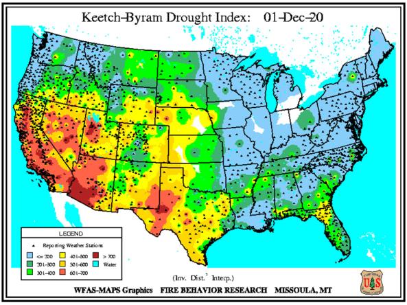
The Keetch-Byram Drought Index assesses the risk of fire by representing the net effect of evapotranspiration and precipitation in producing cumulative moisture deficiency in deep duff and upper soil layers.

The Soil Climate Analysis Network (SCAN) provides soil and climate data to support natural resource assessments and conservation activities, focusing on agricultural areas of the U.S.

Daily or monthly temperature and precipitation observations for stations across Australia.

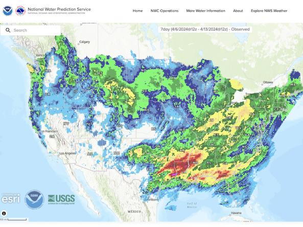
The National Weather Service's National Water Prediction Service (NWPS) provides short-term observed and climatic trends of precipitation across the lower 48 United States (CONUS), Puerto Rico, and Alaska.

The nClimGrid-monthly dataset is a gridded dataset derived from spatially interpolating data from the Global Historical Climatology Network (GHCN), including precipitation (monthly totals) and temperature (monthly average, minimum and maximum), from 1895 to the present.

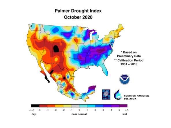
North American Drought Monitor (NADM) indices and data include, Standard Precipitation Index (SPI), Percent of Long-term Average Precipitation and Palmer Drought Severity Index (PDSI).

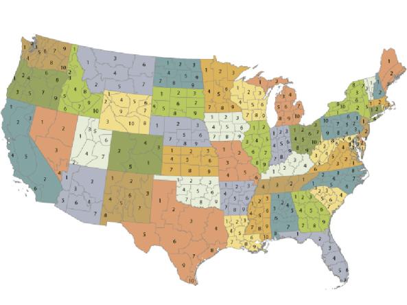
The U.S. Climate Divisional Dataset is a long-term temporally and spatially complete dataset from 1895–present for the contiguous United States. 

Subscribe to Precipitation