U.S. flag

An official website of the United States government

The U.S. government is closed. This site will not be updated; however, NOAA websites and social media channels necessary to protect lives and property will be maintained. To learn more, visit commerce.gov.

For the latest forecasts and critical weather information, visit weather.gov.

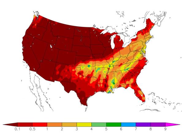
HPRCC produces daily climate maps using data from the Applied Climate Information System (ACIS). The maps and data can be accessed and downloaded from the HPRCC website.


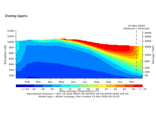
The CVTEMP tool is the public interface for modeled and observed water temperature and flow data for the Sacramento River associated with Shasta Reservoir, Shasta Dam operations, and meteorological conditions.

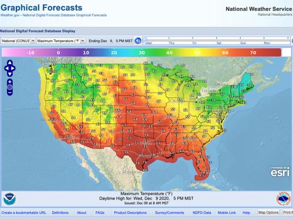
NWS Graphical Forecast is an interactive map that displays current and forecasted meteorological products including: Temperature, Precipitation, Probability of Precipitation, Weather, Hazards, Dew Point, Relative Humidity, Wind Speed, Wind Gusts, Wind Direction, and Sky Cover.

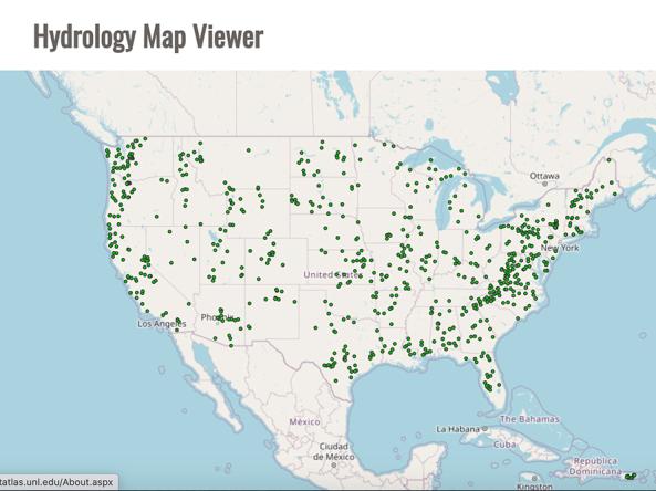
The Drought Risk Atlas provides historic data about drought through 2017 for weather stations across the United States that have at least 40 years of records.

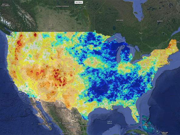
Climate Engine allows users to analyze and interact with climate and earth observations for decision support related to drought, water use, agricultural, wildfire, and ecology.

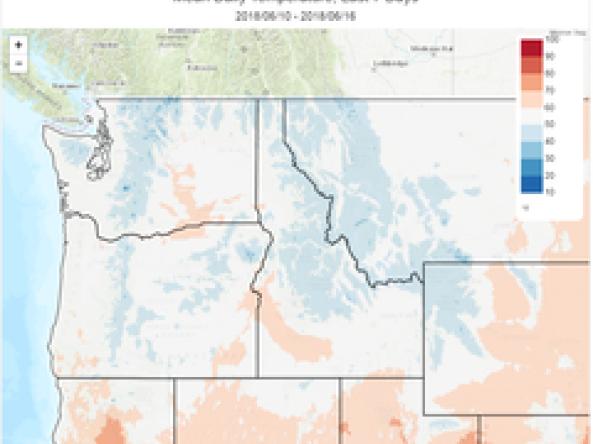
The Climate Toolbox is a collection of web tools for visualizing past and projected climate and projected climate and hydrology of the contiguous United States of America.

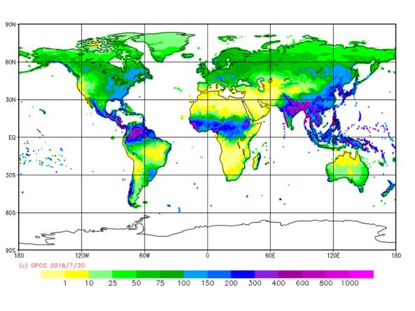
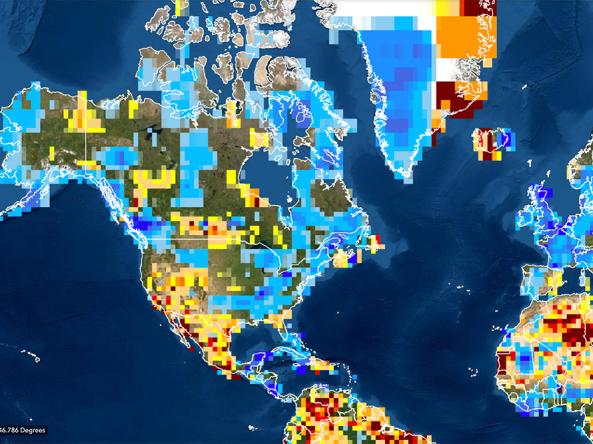
The GPCC provides unrestricted access to its monthly gridded precipitation data sets for climate monitoring purposes and related research.

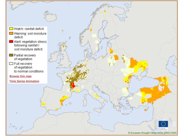
The CDI is derived by combining Standardized Precipitation Index (SPI), the Soil Moisture Anomaly (SMA), and the FAPAR Anomaly, and is used for detecting and monitoring areas that either are affected or have the potential to be affected by agricultural drought.

GPCC Drought Index: a standardized anomaly of precipitation and potential evapotranspiration regarding to long-term means.

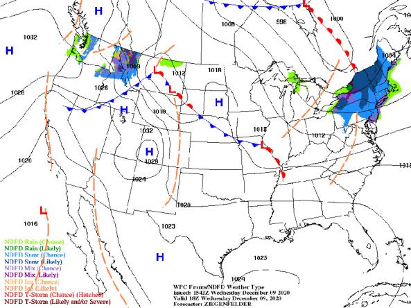
NWS provides a wide selection of forecast maps for temperature and precipitation for the next 12 hours to 6 days.

Subscribe to Precipitation