U.S. flag

An official website of the United States government

The U.S. government is closed. This site will not be updated; however, NOAA websites and social media channels necessary to protect lives and property will be maintained. To learn more, visit commerce.gov.

For the latest forecasts and critical weather information, visit weather.gov.

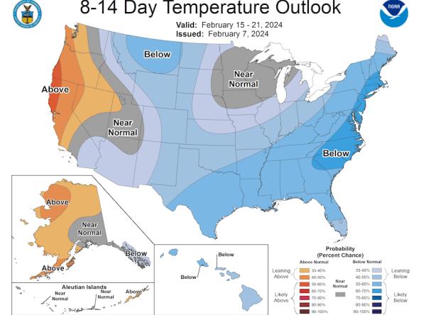
The Climate Prediction Center (CPC) produces temperature and precipitation outlooks for the U.S., including 6-10 day, 8-14 day, monthly, and seasonal outlooks.

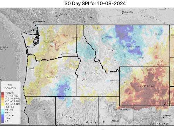
This website provides access to drought indices that are used by the Montana Governor’s Drought and Water Supply Advisory Committee (Monitoring Sub-Committee), though it covers the whole Upper Missouri River Basin, not just Montana.

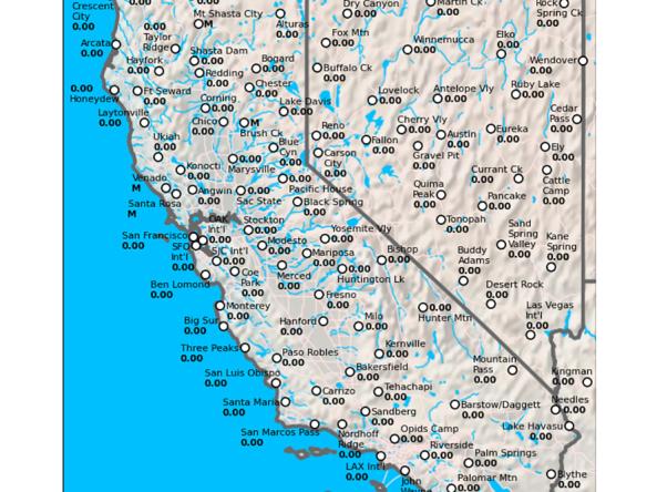
The California Data Exchange Center is a centralized database that stores, processes, and exchanges real-time hydrologic information on precipitation, river forecast, river stages/flow, snow, and reservoir storage conditions in California

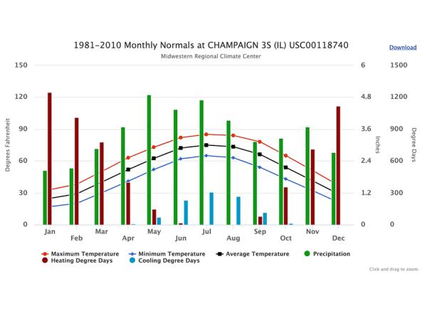
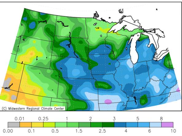
cli-MATE is the MRCC's Application Tools Environment for accessing climate data and value-added tools. cli-MATE can be used to look up such information as raw climate data, rankings of climate information, thresholds, growing season tools, maps, graphs, and more.

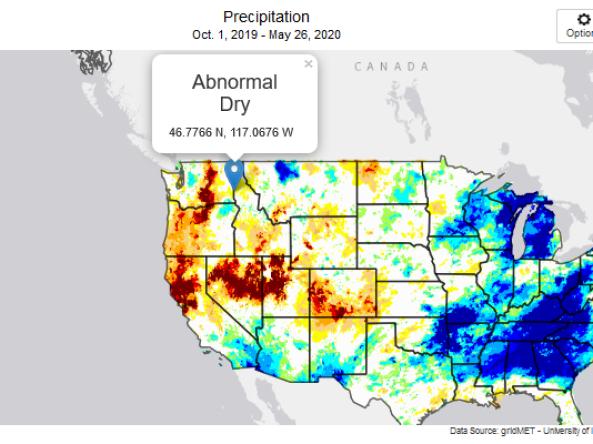
This tool, available as part of The Climate Toolbox, provides maps and summary tables of different drought types, such as agricultural and meteorological drought, for a location in the contiguous United States and enables easy comparison to a display of the current map of the U.S. Drought Monitor.

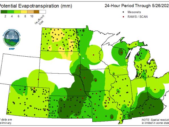
he Regional Mesonets And Partners Project (RMP) produces Potential Evapotranspiration (PET) maps at 24-hour and 7-day intervals for the Midwest region.

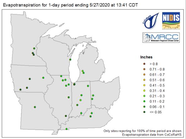
The Midwestern Regional Climate Center produces maps showing evapotranspiration and water balance for certain stations in the Midwest region at 1-day, 7-day, 14-day, 30-day, and 60-day intervals.

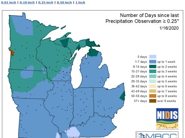
MRCC produces maps showing the number of days that certain stations in the Midwest region have gone without precipitation.

The Midwest Climate Watch is a resource for current climate information for the Midwestern region of the United States, produced by the Midwestern Regional Climate Center (MRCC). Resources include maps/images, reports, and regional drought, agriculture and horticulture information and tools.

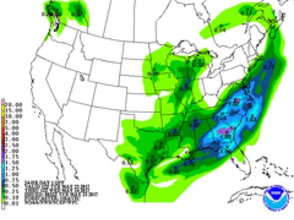
NWS WPC produces Quantitative Precipitation Forecasts (QPFs) that depict the amount of liquid precipitation expected to fall in a defined period of time. In the case of snow or ice, QPF represents the amount of liquid that will be measured when the precipitation is melted.

Subscribe to Precipitation