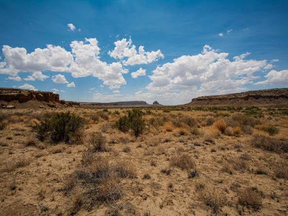
This webinar will provide an update on current drought conditions in the Intermountain West (Arizona, Colorado, New Mexico, Utah, Wyoming).

This webinar will provide an update on current drought conditions in the Intermountain West (Arizona, Colorado, New Mexico, Utah, Wyoming).
This webinar will provide an update on current drought conditions and snow drought in the Intermountain West (Arizona, Colorado, New Mexico, Utah, Wyoming).
This webinar will provide an update on current drought conditions and snow drought in the Intermountain West (Arizona, Colorado, New Mexico, Utah, Wyoming).
This webinar will provide an update on current drought conditions and snow drought in the Intermountain West (Arizona, Colorado, New Mexico, Utah, Wyoming).
This webinar, co-hosted by NIDIS and the National Weather Service, will review the Drought Information Statement modernization effort, showcase the new template and format, outline the expectations for Drought Information Statement authors, and share examples of the modernized statements that were developed during a recent beta test with selected Weather Forecast Offices.