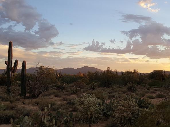
This webinar will provide an update on current drought conditions and snow drought in the Intermountain West (Arizona, Colorado, New Mexico, Utah, Wyoming).
This webinar will provide an update on current drought conditions and snow drought in the Intermountain West (Arizona, Colorado, New Mexico, Utah, Wyoming).
This webinar, held on December 5, 2023, provided updated information assessing climate, water, and drought in the Intermountain West.
This 2023–2025 national webinar series—Strengthening the National Weather Service Drought Toolbox—will enable National Weather Service field office staff, operational meteorologists, climatologists and hydrologists, to embed new drought tools, products, and insights into local and regional drought services.
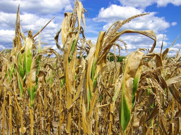
This webinar, co-hosted by NIDIS and the National Weather Service, will provide local and regional perspectives on approaches for monitoring, predicting, and communicating flash drought, including an overview of the 2023 flash drought in the Midwest.
This webinar, co-hosted by NIDIS and the National Weather Service, will review the Drought Information Statement modernization effort, showcase the new template and format, outline the expectations for Drought Information Statement authors, and share examples of the modernized statements that were developed during a recent beta test with selected Weather Forecast Offices.
In May 2022, NOAA's Climate Prediction Center (CPC) began issuing an experimental Rapid Onset Drought risk product within CPC’s Day 8-14 (“Week-2”) U.S. Hazards Outlook. This product highlights areas where rapid drought development (sometimes known as “flash drought”) may occur in the coming 2–4 weeks as depicted by the U.S. Drought Monitor.
On August 25, the High Plains Regional Climate Center hosted a webinar centered on their latest web applications: the Water Deficit Trends Tool and the Spatial Climate Analysis Tool.