U.S. flag

An official website of the United States government

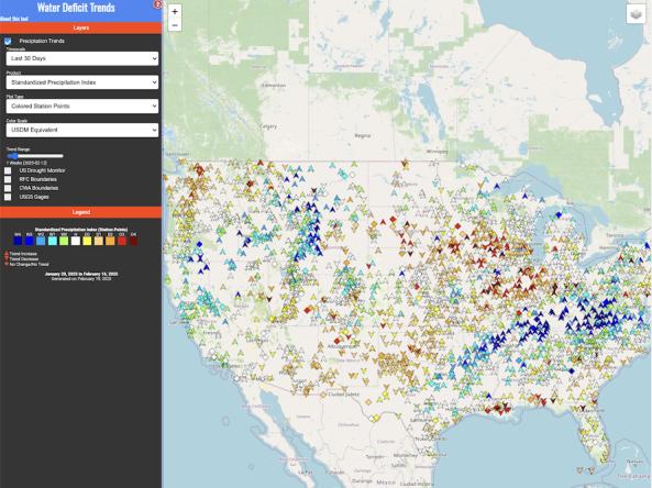
The High Plains Regional Climate Center’s Water Deficit Trends tool provides information on long-term changes in precipitation across the country.

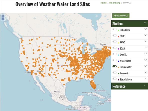
OWWLS, Overview of Weather Water Land Sites, maps the location of weather stations, streamgages, groundwater monitoring stations and reservoirs across the United States, Puerto Rico, and the

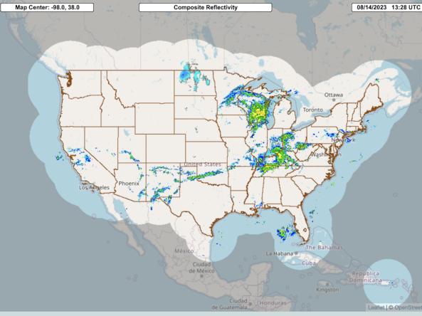
The Multi-Radar Multi-Sensor System combines data streams from multiple radars, satellites, surface observations, upper air observations, lightning reports, rain gauges, and numerical weather predi

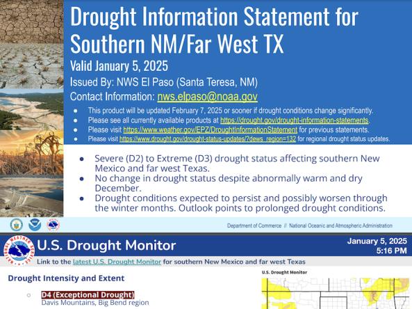
National Weather Service drought information statements provide up-to-date reports on the current drought situation for a Weather Forecast Office’s county warning and forecast area.

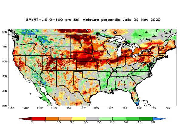
NASA’s Short-term Prediction and Transition Center – Land Information System (SPoRT-LIS) provides high-resolution (about 3-km) gridded soil moisture products in real-time to support regional and lo

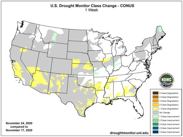
USDM Drought Change Maps display changes in drought class degradation and drought class improvements across the United States.

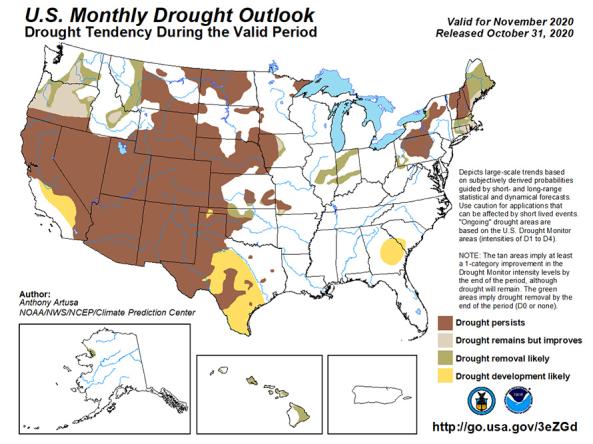
The U.S. Monthly Drought Outlook predicts whether drought will emerge, stay the same or get better over the next 30 days or so.

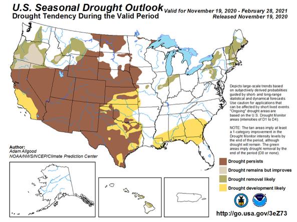
The U.S. Seasonal Drought Outlook depicts large-scale trends based on subjectively derived probabilities guided by short- and long-range statistical and dynamical forecasts. 

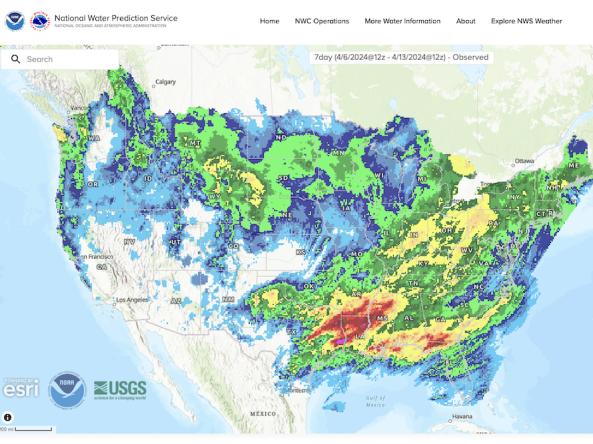
The National Weather Service's National Water Prediction Service (NWPS) provides short-term observed and climatic trends of precipitation across the lower 48 United States (CONUS), Puerto Ric

The National Agricultural Statistics Service (NASS) conducts hundreds of surveys every year and prepares reports covering virtually every aspect of U.S. agriculture.

Subscribe to Puerto Rico