U.S. flag

An official website of the United States government

DATA & MAPS

Select categories to browse data

Looking to Download Data? The Drought.gov team reformats data from multiple partners into web- and GIS-ready formats, which we use throughout Drought.gov. These data are free for all to download.
Search Results(34)

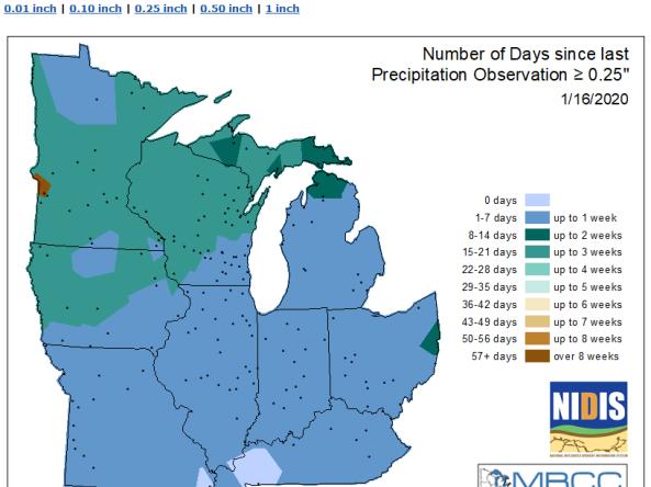
MRCC produces maps showing the number of days that certain stations in the Midwest region have gone without precipitation.

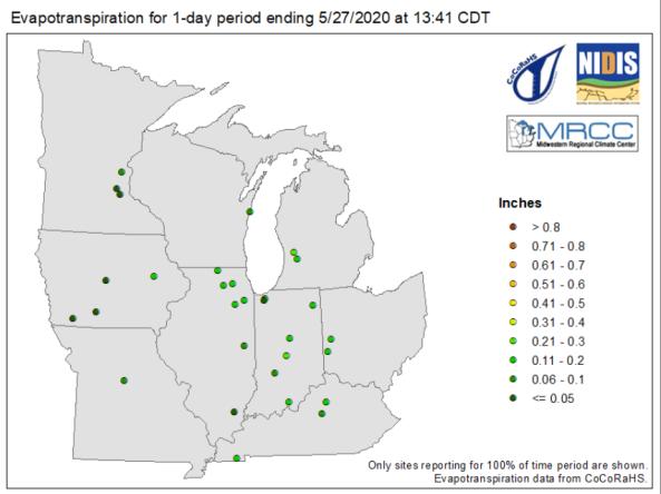
The Midwestern Regional Climate Center produces maps showing evapotranspiration and water balance for certain stations in the Midwest region at 1-day, 7-day, 14-day, 30-day, and 60-day intervals.

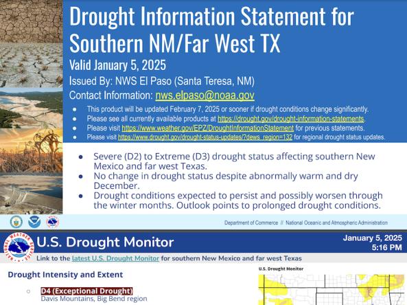
National Weather Service drought information statements provide up-to-date reports on the current drought situation for a Weather Forecast Office’s county warning and forecast area. These statements are text-based products that summarize recent weather and hydrologic conditions, discuss local drought impacts, and provide a local drought outlook.

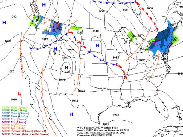
NWS provides a wide selection of forecast maps for temperature and precipitation for the next 12 hours to 6 days.