U.S. flag

An official website of the United States government

DATA & MAPS

Select categories to browse data

Looking to Download Data? The Drought.gov team reformats data from multiple partners into web- and GIS-ready formats, which we use throughout Drought.gov. These data are free for all to download.
Search Results(191)

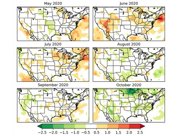
This tool shows one-month projections for EDDI, which is an early warning guidance tool that is available for monitoring.

Evaporative Demand Drought Index (EDDI) subseasonal forecasts are available from the CFS-gridMET dataset at 4-km gridded resolution over the contiguous U.S. Forecasts are available for the next 1-7 days, 8-14 days, 15-21 days, 22-28 days, as well as the next 1-14 days, 1-21 days, and 1-28 days.

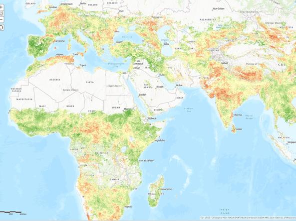
NASA/USDA provides access to Evaporative Stress Index (ESI) data products - a drought index based on remotely sensed evapotranspiration (ET).

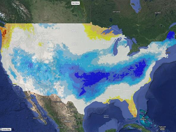
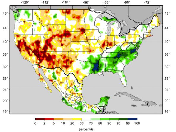
The Experimental Surface Water Monitor provides forecasts and current conditions for soil moisture and cumulative runoff in the United States.