U.S. flag

An official website of the United States government

DATA & MAPS

Select categories to browse data

Looking to Download Data? The Drought.gov team reformats data from multiple partners into web- and GIS-ready formats, which we use throughout Drought.gov. These data are free for all to download.
Search Results(191)

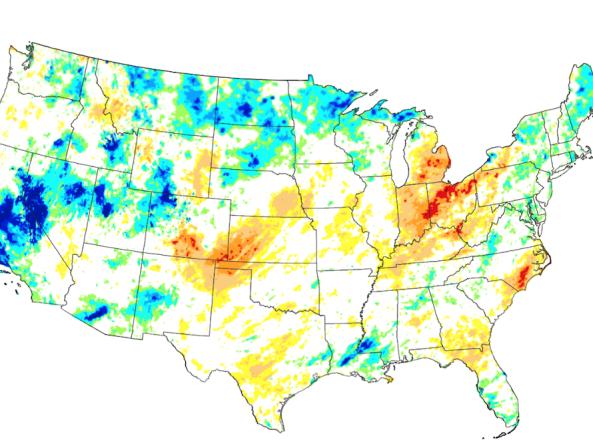
These experimental drought blends integrate several key drought monitoring products and indices into a single short-term or long-term product, based on the methodology developed at the NOAA Climate Prediction Center (CPC). These Drought.gov blends are created using the Climate Engine tool, and apply weighting ratios similar to the ratios used by CPC to the high-resolution gridMET gridded dataset. The data is updated daily, with a delay of 2 to 3 days to allow for data collection and quality control.

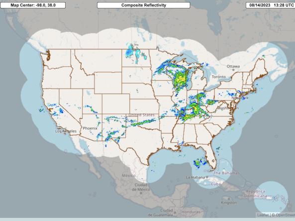
The Multi-Radar Multi-Sensor System combines data streams from multiple radars, satellites, surface observations, upper air observations, lightning reports, rain gauges, and numerical weather prediction models to produce a suite of decision-support products every two minutes.

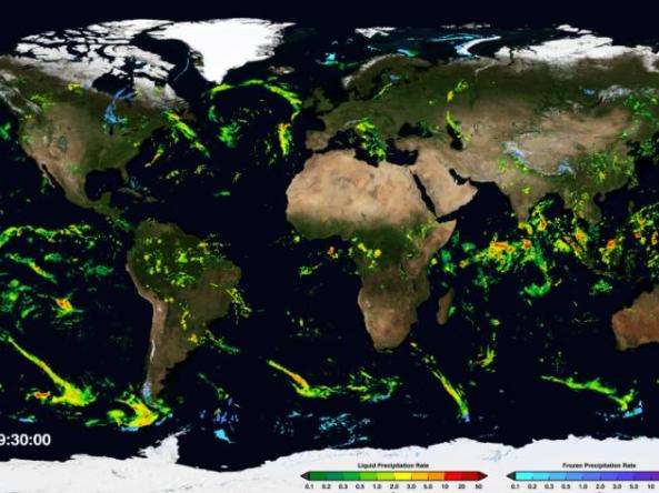
NASA GPM-IMERG: The Integrated Multi-satellitE Retrievals for GPM (IMERG) algorithm combines information from the GPM satellite constellation to estimate precipitation over the majority of the Earth's surface.  

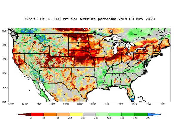
NASA’s Short-term Prediction and Transition Center – Land Information System (SPoRT-LIS) provides high-resolution (about 3-km) gridded soil moisture products in real-time to support regional and local modeling and improve situational awareness.