
Quarterly Climate Impacts and Outlook for the Western Region for June - August 2021. Dated September 2021.
Temperatures were well above average across nearly the entire west and were record breaking in some cases. Over 89% of the western U.S. is in drought, with 54% in extreme to exceptional drought.

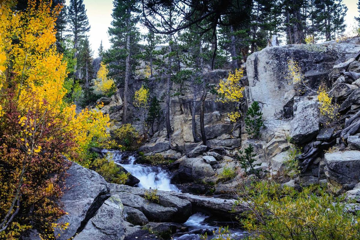
Severe, extreme, or exceptional drought conditions have become increasingly common throughout the western United States over the past 20 years. Abnormally dry conditions can lead to a wide range of negative economic impacts across a wide range of sectors that either directly or indirectly depend on weather-dependent ecosystem services.

The National Weather Service Central Region developed 2021 Fall Hazard Outlooks in coordination with NOAA's National Centers for Environmental Information and National Integrated Drought Information System (NIDIS); U.S. Department of Agriculture; High Plains Regional Climate Center; and National Interagency Fire Center's Geographic Area Coordination Centers. This outlook highlights the various Fall hazards that could occur and potential impacts across the Western U.S.

Droughts are often thought of as slow-moving natural hazards. However, some serious droughts occur with such rapid onset that it seems as if they appear in a “flash,” rendering them and their consequences hard to predict and prepare for. These flash droughts can have substantial agricultural and economic consequences, including billions of dollars in losses.

Since 2000, the Colorado River basin has been experiencing a historic, extended drought that has impacted regional water supply and other resources, such as hydropower, recreation, and ecological goods and services. During this time, the Basin has experienced its lowest 16-year period of inflow in over 100 years of record keeping, and reservoir storage in the Colorado River system has declined from nearly full to about half of capacity.

For Fiscal Year (FY) 2022, the National Integrated Drought Information System (NIDIS) is hosting a research competition, Coping with Drought: Building Tribal Drought Resilience. Applications should be developed by or in full partnership with tribal nations to fund the implementation of actions—together with research on those actions—to build drought resilience contained in existing plans and strategies. Plans may include, but are not limited to drought contingency plans; drought, water, or natural resource plans; agricultural resource management plans; or climate adaptation plans.

For Fiscal Year (FY) 2022, the National Integrated Drought Information System (NIDIS) is hosting a research competition, Coping with Drought: Building Tribal Drought Resilience. Applications should be developed by or in full partnership with tribal nations to fund the implementation of actions—together with research on those actions—to build drought resilience contained in existing plans and strategies. Plans may include, but are not limited to drought contingency plans; drought, water, or natural resource plans; agricultural resource management plans; or climate adaptation plans.

As of July 13, 2021, 89% of the West is in drought and 25% is in Exceptional (D4) Drought. Both are U.S. Drought Monitor records. Much of the West was drought free just over 14 months ago, but drought conditions began developing around May 2020. A poor summer 2020 monsoon season followed by snow drought in winter 2020-21 worsened conditions in California and the Southwest. Record-shattering temperatures and dry conditions in the Northwest in early summer 2021 caused conditions to rapidly deteriorate in a region that was already facing multi-year precipitation deficits.