U.S. flag

An official website of the United States government

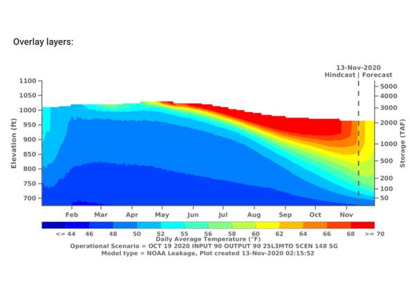
The CVTEMP tool is the public interface for modeled and observed water temperature and flow data for the Sacramento River associated with Shasta Reservoir, Shasta Dam operations, and meteorological conditions.

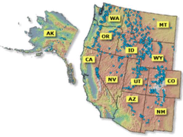
Reports and data on streamflow, forecasts, reservoir storage and other hydrologic information for the Western United States.

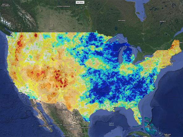
Climate Engine allows users to analyze and interact with climate and earth observations for decision support related to drought, water use, agricultural, wildfire, and ecology.

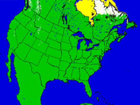
U.S. NIC provides snow maps produced using the Interactive Multisensor Snow and Ice Mapping System (IMS) depicting the extent of daily snow and ice coverage in the Northern Hemisphere.

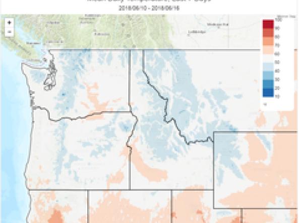
The Climate Toolbox is a collection of web tools for visualizing past and projected climate and projected climate and hydrology of the contiguous United States of America.

SNODAS provides estimates of snow cover, depth, snow water equivalent (SWE) and associated variables to support hydrologic modelling and analysis.

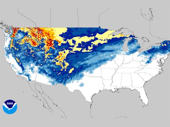
NOHRSC snow products include estimates of snow water equivalent, snow depth, snow pack temperatures, snow sublimation, snow evaporation, blowing snow, modeled and observed snow information, airborne snow data, satellite snow cover, historic snow data, and time-series for selected modeled snow products.

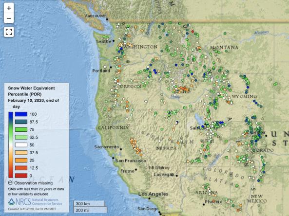
Point maps and interactive maps of snow water equivalent, snow depth, and snow density from the Natural Resources Conservation Service (NRCS) Snow Telemetry (SNOTEL).

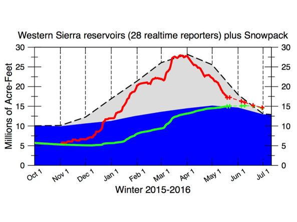
The CNAP Sierra Nevada Water Storage Tracker provides daily reservoir storage and snowpack information. 

UC San Diego Scripps Institute of Oceanography Center for Western Weather and Water Extremes (CW3E) provides observation and forecast datasets, including integrated water transport, integrated water vapor, precipitation, snow, temperature, winds and height, isotherm, meteograms, and virtual RASS.

Subscribe to Snow Drought