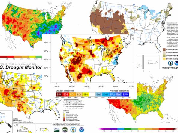
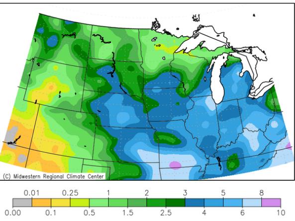
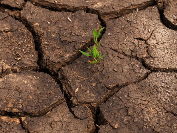
U.S. flag

An official website of the United States government

Event Date
January 25, 2021
11:00 am - 12:00 pm
Location
Virtual

The California-Nevada Drought Early Warning System (CA-NV DEWS) January 2021 Drought & Climate Outlook Webinar is part of a series of regular drought and climate outlook webinars designed to provide stakeholders and other interested parties in the region with timely information on current drought status and impacts, as well as a preview of current and developing climatic events (i.e., El Niño and La Niña). The webinar takes place at 11 a.m. PT, Monday, January 25, 2021.

Snow Today updates daily images on snow conditions and relevant data, and also provides monthly scientific analyses from January to May, or more frequently as conditions warrant. The National Snow and Ice Data Center is part of CIRES at the University of Colorado Boulder. 

The Center for Western Weather and Water Extremes (CW3E) uses Global Ensemble Forecast System forecasts to show the evolution of the freezing level above, within, or below a watershed's terrain (that is, forecast near-surface temperatures being above or below freezing, and precipitation falling as rain or snow).

Published on

This series of maps shows the current state of drought in the United States. Included are the factors that have led to the drought, primarily below average precipitation coupled with high to record-breaking temperatures; impacts such as the wildfires burning across the West; experimental drought indicators like the Evaporative Demand Drought Index; and outlooks for the rest of summer and fall.

Published on

Outdoor recreation is a major contributor to the Intermountain West’s economy, but the future viability of many businesses—particularly small businesses—in the industry is threatened by their drought vulnerabilities and the region’s projected increases in drought severity and frequency.

The California Data Exchange Center is a centralized database that stores, processes, and exchanges real-time hydrologic information on precipitation, river forecast, river stages/flow, snow, and reservoir storage conditions in California

The Midwest Climate Watch is a resource for current climate information for the Midwestern region of the United States, produced by the Midwestern Regional Climate Center (MRCC). Resources include maps/images, reports, and regional drought, agriculture and horticulture information and tools.

NorWeST hosts stream temperature data and climate scenarios in a variety of user-friendly digital formats for streams and rivers across the western U.S.

Monthly streamflow maps comparing percent of monthly average flow to their respective 1981-2010 average. Available in spring and summer for the western U.S.

Snow depth products produced by the SNOTEL network of over 800 automated data collection sites located in remote, high-elevation mountain watersheds in the western U.S.

Subscribe to Snow Drought