U.S. flag

An official website of the United States government

DATA & MAPS

Select categories to browse data

Looking to Download Data? The Drought.gov team reformats data from multiple partners into web- and GIS-ready formats, which we use throughout Drought.gov. These data are free for all to download.
Search Results(33)

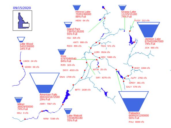
Reservoir storage "teacup" diagrams for U.S. Bureau of Reclamation dams in the Pacific Northwest region. 

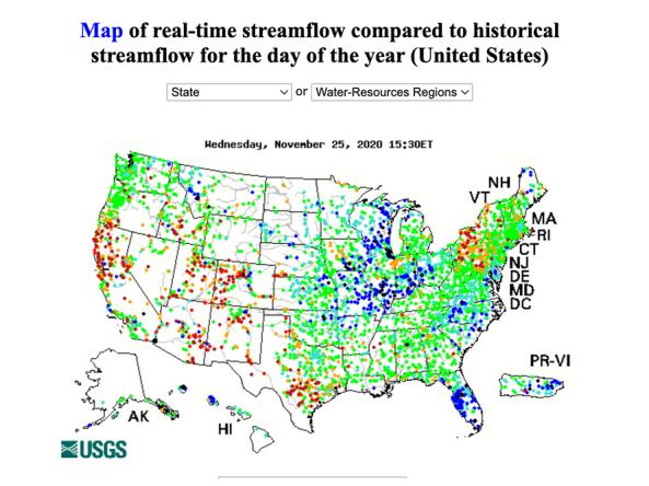
WaterWatch is a U.S. Geological Survey (USGS) World Wide Web site that displays maps, graphs, and tables describing real-time, recent, and past streamflow conditions for the United States.

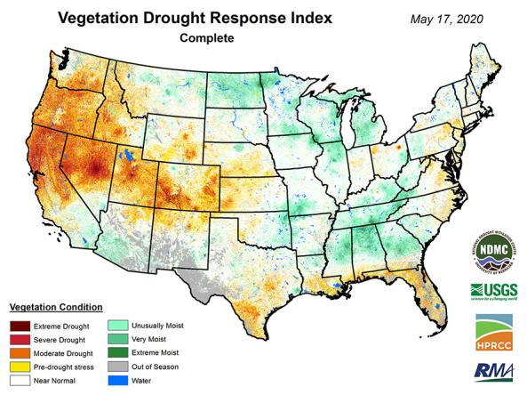
VegDRI: a weekly depiction of vegetation stress across the contiguous United States.

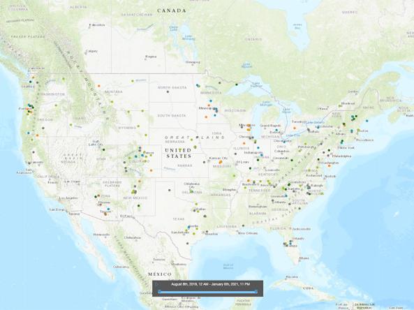
The Visual Drought Atlas is a way to compare the appearance of different landscapes over time, in dry, wet and normal years through images.