U.S. flag

An official website of the United States government

DATA & MAPS

Select categories to browse data

Looking to Download Data? The Drought.gov team reformats data from multiple partners into web- and GIS-ready formats, which we use throughout Drought.gov. These data are free for all to download.
Search Results(191)

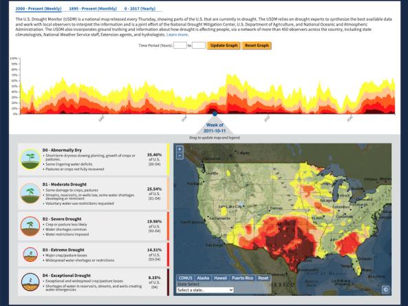
 The U.S. Drought Portal's Historical Data & Conditions Tool displays three historical drought datasets side by side on an interactive time series graph and map: U.S. Drought Monitor (2000 - Present), Standardized Precipitation Index (1895 - Present), and Palmer Modified Drought Index (0 BCE - 2017). These data are available for download in CSV, XML, and JSON format.

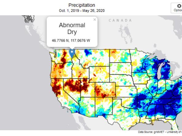
This tool, available as part of The Climate Toolbox, provides maps and summary tables of different drought types, such as agricultural and meteorological drought, for a location in the contiguous United States and enables easy comparison to a display of the current map of the U.S. Drought Monitor.

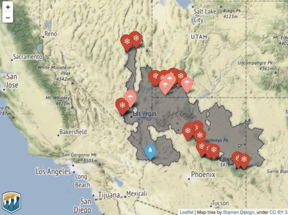
HydroData is the U.S. Bureau of Reclamation’s hydrologic database access portal. Through interactive maps and charts, users can view reservoir data, gage data, and basin maps.


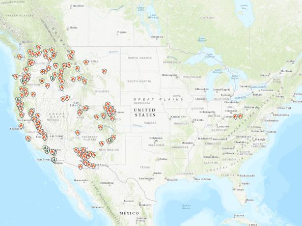
InciWeb is an interagency all-risk incident information management system. InciWeb provides the most current information about wildfires, prescribed burns, floods, hurricanes, and other incidents to the public, news media, and other interested parties.