An official website of the United States government
Here’s how you know
The .gov means it’s official.
Federal government websites often end in .gov or .mil. Before sharing sensitive information, make sure you’re on a federal government site.
The site is secure.
The
https://
ensures that you are connecting to the official website and that any information you provide is encrypted and transmitted securely.
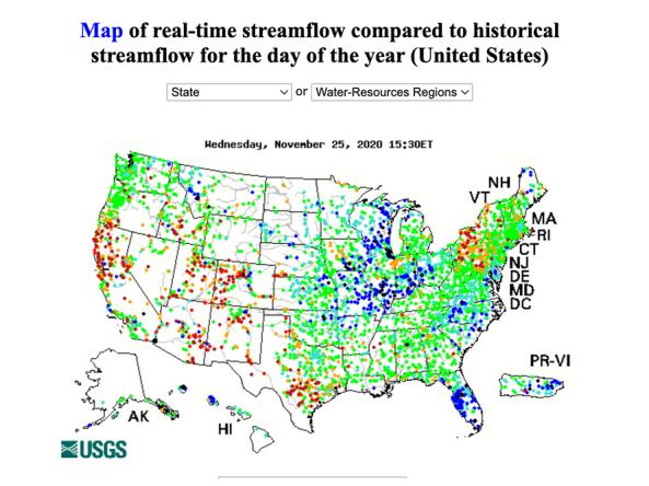
WaterWatch is a U.S. Geological Survey (USGS) World Wide Web site that displays maps, graphs, and tables describing real-time, recent, and past streamflow conditions for the United States.
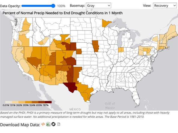
NCEI provides precipitation data that can be used to show probability or the amount of precipitation to ameliorate or end a drought at different monthly scales.
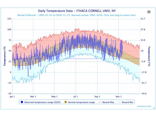
The Regional Climate Centers (RCC) Applied Climate Information System (ACIS) offers interactive temperature and precipitation charts with single- or multi-station capabilities.
Data Coverage
United States
Period of Record
Current Conditions, Historical data (period of record varies)
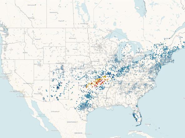
Precipitation data from CoCoRaHS: a non-profit, community-based network of volunteers of all ages and backgrounds working together to measure and map precipitation (rain, hail, and snow) acros
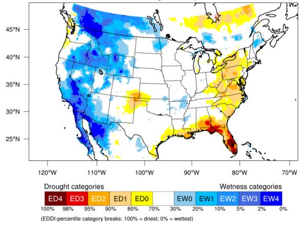
The Evaporative Demand Drought Index (EDDI) is an experimental tool that examines how anomalous the atmospheric evaporative demand (E0; also known as "the thirst of the atmosphere") is for a given
Data Coverage
Contiguous U.S.
Period of Record
1980 - Present
File Format
images
text (ascii)
Data Type
Model
National Weather Service Local Drought Information Statements
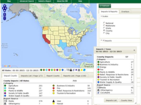
Drought Impacts Reporter (DIR): an interactive database of drought impacts in the U.S., by location, data, type, and cost built from stakeholder, government, media and other reports.