U.S. flag

An official website of the United States government

Published on

After a warm, dry October, drought reached a nationwide record this year. Ohio and West Virginia saw their most area in Extreme and Exceptional Drought (D3-D4) since the U.S. Drought Monitor began in 2000. Far West Texas, southern New Mexico, and the Northern Rockies remained in persistent drought throughout the year. Meanwhile, areas of the West in long-term drought, including parts of the Southwest, saw some improvement in spring. 

Published on

Higher temperatures caused by anthropogenic climate change made an ordinary drought into an exceptional drought that parched the American West from 2020-2022, according to a new study by scientists from the University of California, Los Angeles (UCLA), NOAA’s National Integrated Drought Information System (NIDIS), and the Cooperative Institute for Research in Environmental Sciences.  

Event Date
October 22, 2024

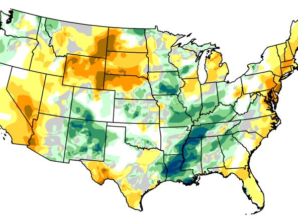
Drought developed or worsened across Oklahoma over the summer. In September, Extreme Drought (D3) expanded over southwest Oklahoma, northwest Texas, and southern Kansas. NOAA’s Climate Prediction Center’s seasonal outlooks predict increased chances for warmer- and drier-than-normal conditions through the end of the year across the Southern Plains and into adjacent states. In fact, parts of eastern Texas that experienced flooding in early summer are now experiencing Moderate Drought (D1), which is likely to worsen in the coming months.

Event Date
September 27, 2024

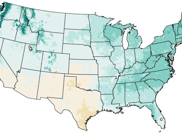
This special drought webinar provided drought information and resources for West Virginia and Ohio, as well as surrounding states in the Midwest and Mid-Atlantic. Topics included the history and evolution of the ongoing drought; current conditions and outlooks for Fall 2024; wildfire risk updates; and ecological impacts as well as impacts across sectors from agriculture to water supply to public health. 

Published on

New interactive maps on drought.gov can help users better prepare for heat and drought in their community, with data from NOAA’s National Weather Service. Drought.gov now displays customizable maps showing National Weather Service heat advisories, warnings, and watches, as well as 3–7 and 8–14 day heat hazard outlooks. These maps can be overlaid with the U.S. Drought Monitor to monitor areas where extreme heat may worsen existing drought conditions. 

The National Weather Service Weather Prediction Center's Day 3–7 Hazards Outlook shows potential hazardous conditions related to precipitation/flooding, temperature, wildfire/winds, and soils/drought. 

NASA GPM-IMERG: The Integrated Multi-satellitE Retrievals for GPM (IMERG) algorithm combines information from the GPM satellite constellation to estimate precipitation over the majority of the Earth's surface.  

ERA5 is the fifth generation ECMWF atmospheric reanalysis of the global climate covering the period from January 1940 to present. ERA5 is produced by the Copernicus Climate Change Service (C3S) at ECMWF.

Published on

The Fifth National Climate Assessment (NCA5) is a resource to understand how drought will change as the climate changes, how we can adapt, and how future droughts might impact your region and livelihood. Check out these 10 maps and graphics to learn more about drought in a changing climate. 

OWWLS, Overview of Weather Water Land Sites, maps the location of weather stations, streamgages, groundwater monitoring stations and reservoirs across the United States, Puerto Rico, and the U.S. Virgin Islands. 

Subscribe to Temperature