U.S. flag

An official website of the United States government

Published on

When winter began, drought and dryness covered almost all of the Great Plains and West, and the snowfall in winter 2020-2021 didn’t do much to help conditions in the Western U.S. Explore drought conditions across the U.S. this winter in a series of 8 maps.

ACIS NRCC Interpolated (Grid 1) is a gridded dataset that includes area averages of daily maximum, minimum, and average temperatures and daily precipitation amounts for the contiguous United States from January 1, 1950 to the present.

Event Date
May 9, 2023

NOAA’s National Integrated Drought Information System (NIDIS), in partnership with NOAA’s National Centers for Environmental Information (NCEI) and National Weather Service’s Climate Prediction Center, hosted the 2023 Western Drought Webinar on May 9 to provide the latest information on current drought conditions and outlooks. Speakers from the U.S.

NASA GPM-IMERG: The Integrated Multi-satellitE Retrievals for GPM (IMERG) algorithm combines information from the GPM satellite constellation to estimate precipitation over the majority of the Earth's surface.  

ERA5 is the fifth generation ECMWF atmospheric reanalysis of the global climate covering the period from January 1940 to present. ERA5 is produced by the Copernicus Climate Change Service (C3S) at ECMWF.

The Multi-Radar Multi-Sensor System combines data streams from multiple radars, satellites, surface observations, upper air observations, lightning reports, rain gauges, and numerical weather prediction models to produce a suite of decision-support products every two minutes.

The Climate Prediction Center's Day 8–14 (Week 2) U.S. Hazards Outlook shows potential hazardous conditions related to temperature, precipitation, wind, snow, and rapid onset drought.

The US Gridded Standardized Precipitation Index (SPI) is derived from the nClimGrid-Daily dataset and and includes timescales of 1, 2, and 3 weeks, as well as 1, 2, 3, 4, 6, 9, and 12 months.

nClimGrid-Daily is a gridded dataset that includes area averages of daily maximum, minimum, and average temperatures and daily precipitation amounts for the contiguous United States from January 1, 1951 to the present.

Event Date
September 9, 2022
2:00 pm - 3:00 pm
Location
Virtual

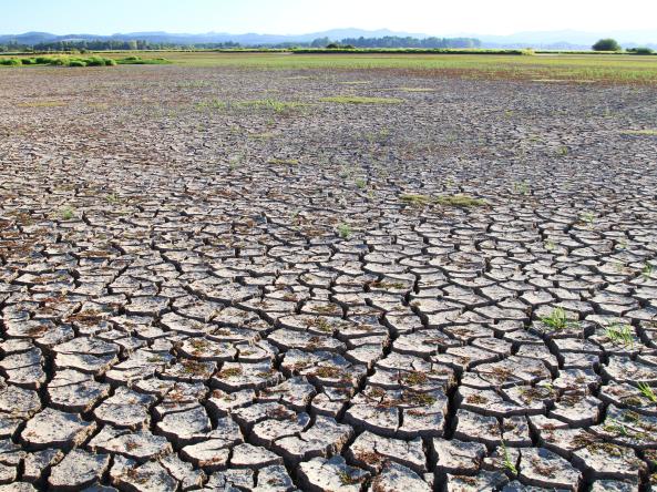
The NOAA Regional Collaboration Network hosted a special webinar on September 9 designed to share experiences and information about NOAA’s role related to drought. From learning about the National Integrated Drought Information System (NIDIS), to understanding flash drought, or how drought relates to salmon recovery—attendees heard straight from the experts on a wide array of drought-related topics! In addition, presenters addressed questions from the audience.

Subscribe to Temperature