An official website of the United States government
Here’s how you know
The .gov means it’s official.
Federal government websites often end in .gov or .mil. Before sharing sensitive information, make sure you’re on a federal government site.
The site is secure.
The
https://
ensures that you are connecting to the official website and that any information you provide is encrypted and transmitted securely.
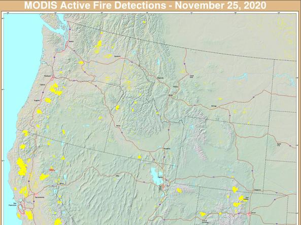
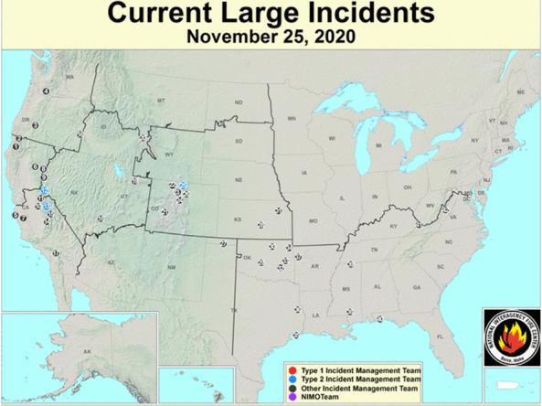
The USFS Active Fire Mapping program provides near real-time detection and characterization of wildland fire conditions in a geospatial context for the continental United States, Alaska, Hawaii and
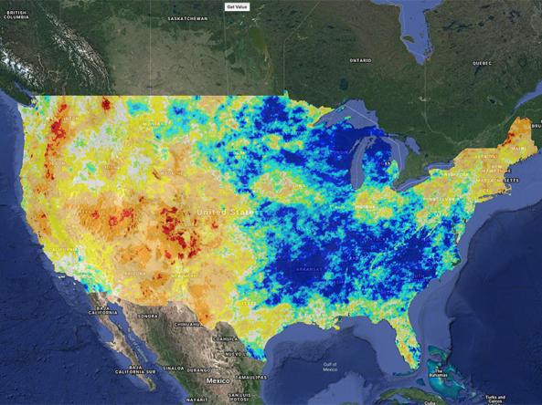
Climate Engine allows users to analyze and interact with climate and earth observations for decision support related to drought, water use, agricultural, wildfire, and ecology.
Data Coverage
Global
Period of Record
Current Conditions, Historical data (period of record varies)
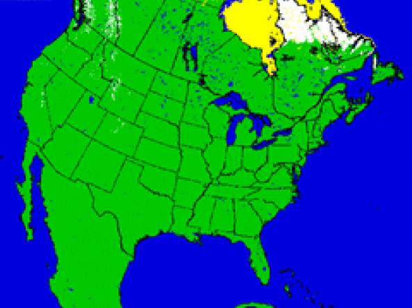
U.S. NIC provides snow maps produced using the Interactive Multisensor Snow and Ice Mapping System (IMS) depicting the extent of daily snow and ice coverage in the Northern Hemisphere.
WaterSense is a voluntary partnership program sponsored by EPA that provides resources on water-efficient products, new homes, and programs that meet EPA’s criteria for efficiency & performance
The USFS Active Fire Mapping Program is an operational, satellite-based fire detection and monitoring program that provides near real-time detection and characterization of wildland fire conditions
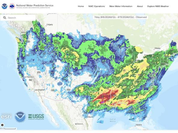
The National Weather Service's National Water Prediction Service (NWPS) provides short-term observed and climatic trends of precipitation across the lower 48 United States (CONUS), Puerto Ric