An official website of the United States government
Here’s how you know
The .gov means it’s official.
Federal government websites often end in .gov or .mil. Before sharing sensitive information, make sure you’re on a federal government site.
The site is secure.
The
https://
ensures that you are connecting to the official website and that any information you provide is encrypted and transmitted securely.
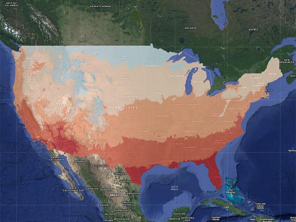
gridMET is a gridded dataset of daily high-spatial resolution (~4-km, 1/24th degree) surface meteorological data using PRISM and NLDAS-2, covering the contiguous U.S.
These experimental drought blends integrate several key drought monitoring products and indices into a single short-term or long-term product, based on the methodology developed at the NOAA Cl
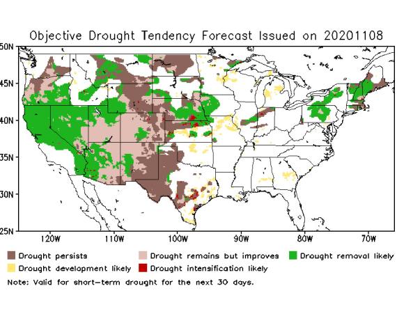
An integrated product that combines information from the flash drought development tool and subseasonal SPI 3-month forecasts. The product is produced daily and is based on the most rece
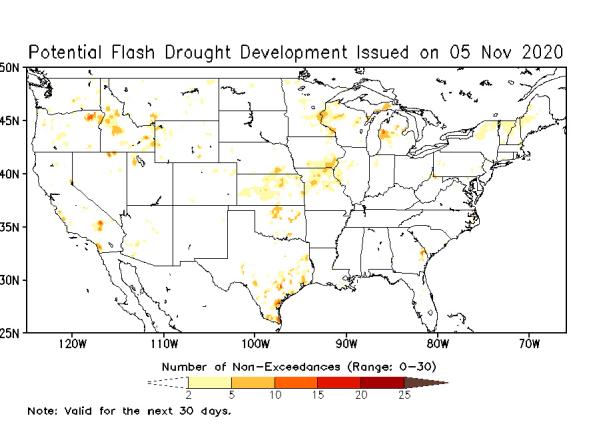
The Potential Flash Drought Detection Tool identifies areas of potential rapid drought emergence by identifying rapid change of evapotranspiration using the NLDAS-2 land surface model.
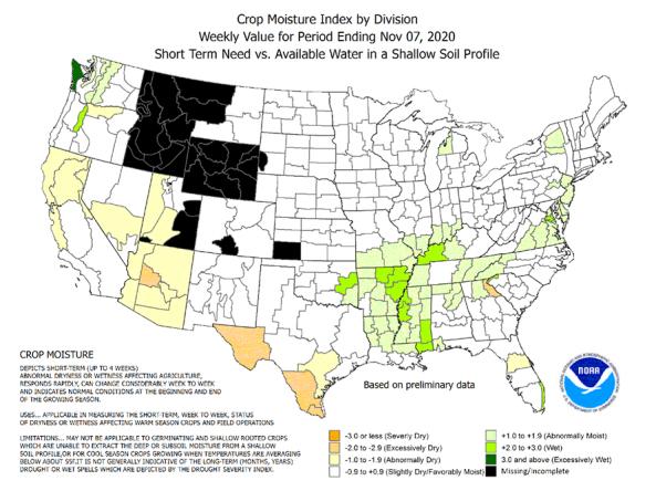
The CMI is an index of the relative dryness or wetness affecting water sensitive economies. It provides the short-term or current status of purely agricultural drought or moisture surplus.
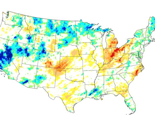
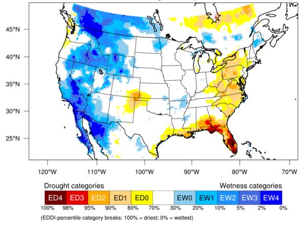
The Evaporative Demand Drought Index (EDDI) is an experimental tool that examines how anomalous the atmospheric evaporative demand (E0; also known as "the thirst of the atmosphere") is for a given