U.S. flag

An official website of the United States government

DATA & MAPS

Select categories to browse data

Looking to Download Data? The Drought.gov team reformats data from multiple partners into web- and GIS-ready formats, which we use throughout Drought.gov. These data are free for all to download.
Search Results(35)

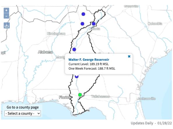
The ACF River Basin Drought and Water Dashboard is a web-based application that allows decision makers to view real-time information on the ACF River Basin all in one place. 

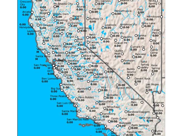
The California Data Exchange Center is a centralized database that stores, processes, and exchanges real-time hydrologic information on precipitation, river forecast, river stages/flow, snow, and reservoir storage conditions in California

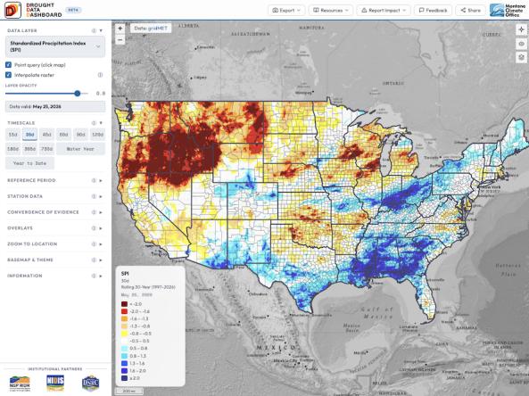
The Drought Data Dashboard, or D³, is an interactive mapping tool that allows users to view, analyze, and customize the display of key drought indices and climate variables across the contiguous U.S. 

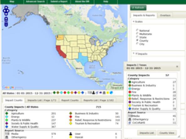
Drought Impacts Reporter (DIR): an interactive database of drought impacts in the U.S., by location, data, type, and cost built from stakeholder, government, media and other reports.