U.S. flag

An official website of the United States government

Document Preview
Document Date
October 1, 2015
Document Description
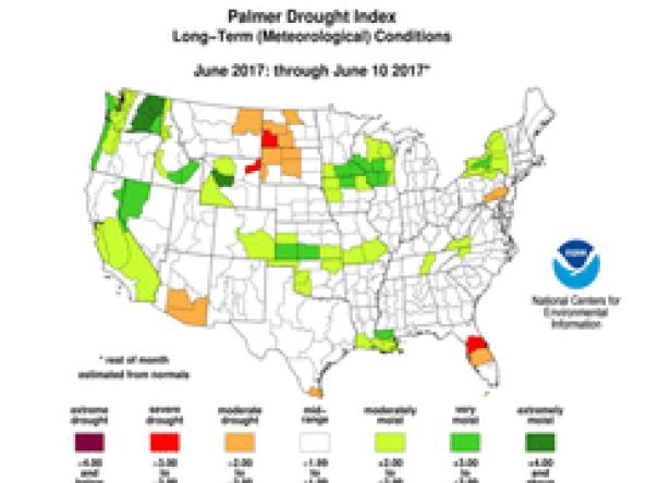
El Nino Impacts and Outlook – Eastern Region, October 2015.

NWS WPC produces Quantitative Precipitation Forecasts (QPFs) that depict the amount of liquid precipitation expected to fall in a defined period of time. In the case of snow or ice, QPF represents the amount of liquid that will be measured when the precipitation is melted.

Groundwater and soil moisture drought indicators based on terrestrial water storage observations derived from GRACE satellite data and integrated with other observations, produced each week by NASA.

HPRCC produces daily climate maps using data from the Applied Climate Information System (ACIS). The maps and data can be accessed and downloaded from the HPRCC website.


The Weekly Palmer Drought Index (PDI) and Palmer Hydrological Drought Index (PHDI) are estimations of the monthly PDI and PHDI on an operational weekly basis.

The U.S. Monthly Drought Outlook predicts whether drought will emerge, stay the same or get better over the next 30 days or so.

Regional weekly, one-, three-, and twelve-month maps depicting total precipitation, percent of normal precipitation, average temperature, maximum and minimum temperatures, and departures from normal, produced by CPC.

The U.S. Seasonal Drought Outlook depicts large-scale trends based on subjectively derived probabilities guided by short- and long-range statistical and dynamical forecasts. 

Soil moisture conditions at the daily and monthly scales depicting total soil moisture, percentiles and anomalies, as well as monthly and seasonal change.

NOAA Quarterly Climate Impacts and Outlooks Reports: two-page reports on regional climate impacts with an overview of recent and forecast conditions produced by NOAA.

Subscribe to Northeast