An official website of the United States government
Here’s how you know
The .gov means it’s official.
Federal government websites often end in .gov or .mil. Before sharing sensitive information, make sure you’re on a federal government site.
The site is secure.
The
https://
ensures that you are connecting to the official website and that any information you provide is encrypted and transmitted securely.
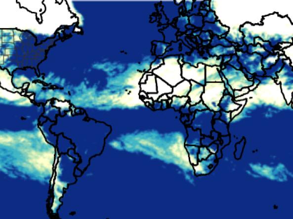
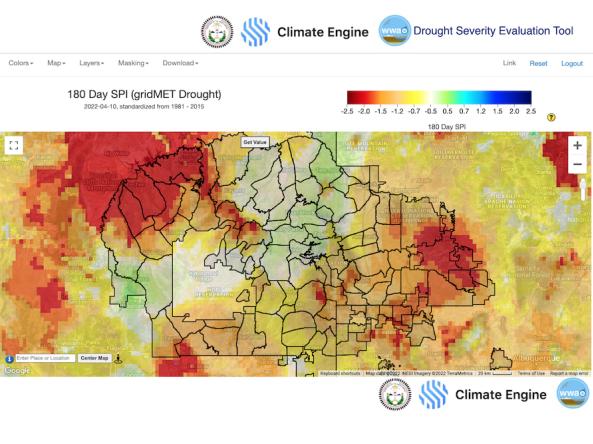
The Global Gridded Standardized Precipitation Index (SPI) is derived from the CMORPH daily dataset and includes timescales of 1, 3, 6 and 9 months. The NOAA CMORPH precipitatio
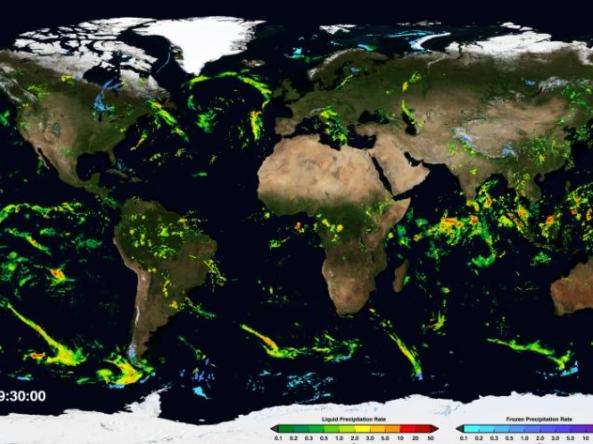
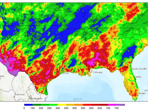
NASA GPM-IMERG: The Integrated Multi-satellitE Retrievals for GPM (IMERG) algorithm combines information from the GPM satellite constellation to estimate precipitation
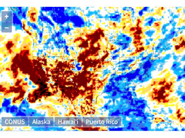
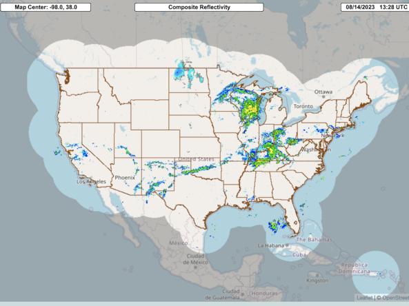
The Multi-Radar Multi-Sensor System combines data streams from multiple radars, satellites, surface observations, upper air observations, lightning reports, rain gauges, and numerical weather predi
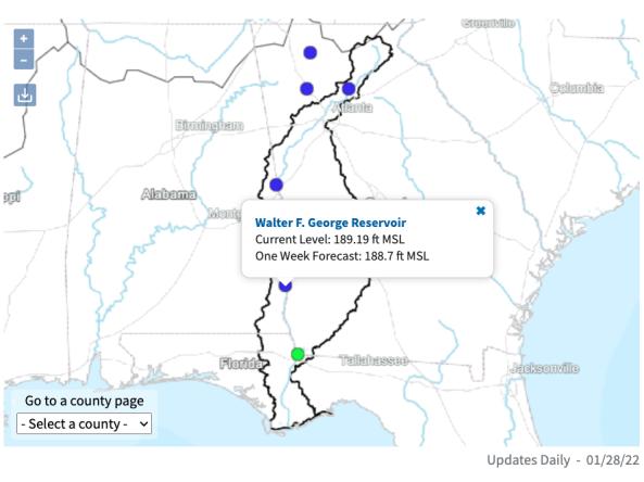
The ACF River Basin Drought and Water Dashboard is a web-based application that allows decision makers to view real-time information on the ACF River Basin all in one place.
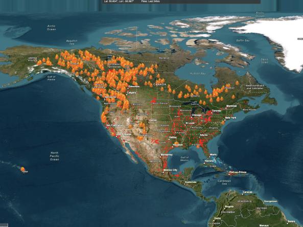
The Keetch-Byram Drought Index (KBDI) assesses the likelihood of wildfires becoming large and difficult to contain by representing the net effect of evapotranspiration and precipitation in pr
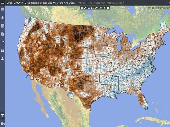
Crop-CASMA is a web-based geospatial application that provides access to high-resolution data from NASA SMAP and MODIS missions to map soil moisture and crop vegetation conditions a