Logo
Featured Agencies/Organizations
Related Data & Maps
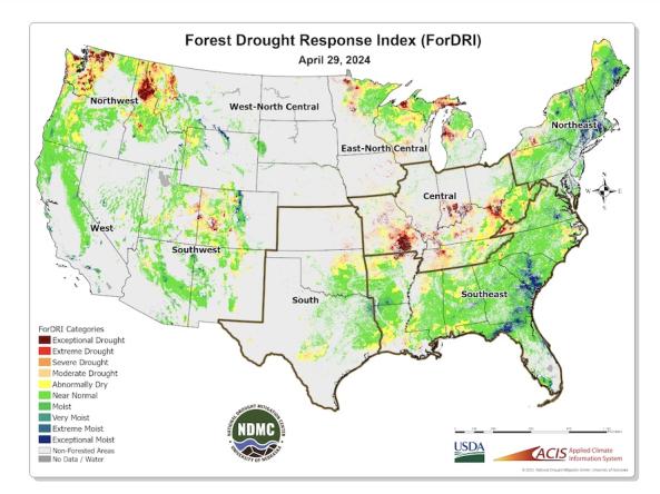
The Forest Drought Response Index (ForDRI) is a new combined indicator tool to identify and characterize forest drought stress.
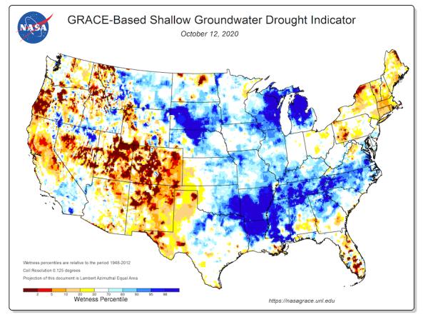
Groundwater and soil moisture drought indicators based on terrestrial water storage observations derived from GRACE satellite data and integrated with other observations, produced each week by NASA
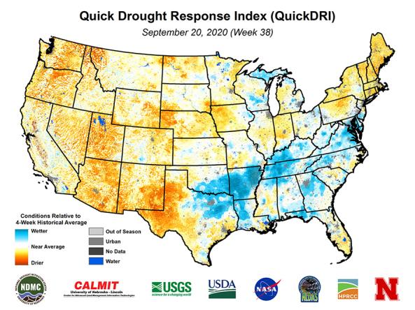
Quick Drought Response Index (QuickDRI): a geospatial tool that characterizes the intensification of short-term drought condition patterns on a weekly basis across the continental United States (CO
Related Webinar Recaps
Related News
Site Section
News & Events
NOAA’s National Integrated Drought Information System (NIDIS) has announced a total annual award of $6.2 million to support 12 new, innovative, and impactful projects that will improve our nation’s resilience at a critical time in the fight against the drought crisis. The projects will focus on ecological drought and building tribal drought resilience.
NIDIS is funding seven new 2-year
Site Section
News & Events
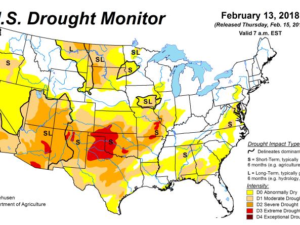
Through a partnership with NIDIS, the National Drought Mitigation Center (NDMC) has introduced two new ways to view the U.S. Drought Monitor map. Users can now view maps specific to the regions of NOAA’s River Forecast Centers (RFCs) and Weather Forecast Offices (WFOs), making it easier for the National Weather Service (NWS) to meet the needs of
Site Section
News & Events
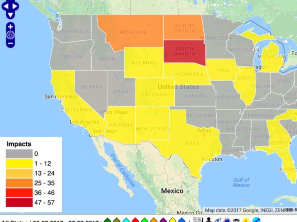
BROOKINGS, S.D. - Agricultural producers are encouraged to share drought impact information through the Drought Impact Reporter, part of the National Drought Mitigation Center.
The Reporter allows producers to report local drought impacts and conditions. The tool was developed by the U.S. Department of Agriculture (USDA) in partnership with the National Oceanic and Atmospheric

Site Section
News & Events
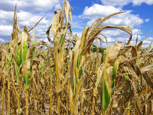
Agricultural crops can wither in a flash when the days turn hot, the air dries, the rain stops and moisture evaporates quickly from the soil. A new early warning system developed by two nationally recognized centers at the University of Nebraska-Lincoln, along with the U.S. Geological Survey, can help alert stakeholders as drought begins.
The Quick Drought Response Index, or QuickDRI,
Related Documents
Document Preview

Document Date
December 2024
Document Preview

Document Date
April 2024
Document Preview

Document Date
June 2023
Document Preview

Document Date
May 2023
Document Preview

Document Date
April 2022
Document Preview

Document Date
July 2021