Logo
Related Data & Maps
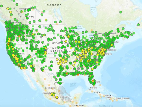
The AirNow Fire and Smoke Map is an interactive map displaying information on ground-level air quality monitors recording fine particulates (PM2.5) from smoke and other sources, as well as informat
Period of Record
Current Conditions
File Format
images
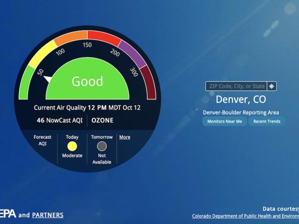
AirNow is a one-stop source for air quality data, including current and forecast air quality maps and data for more than 500 cities across the U.S., as well as Canada and Mexico.
Period of Record
Current conditions, forecasts
File Format
csv
json
xml
WaterSense is a voluntary partnership program sponsored by EPA that provides resources on water-efficient products, new homes, and programs that meet EPA’s criteria for efficiency & performance
File Format
pdf
other
Related Events
Feb
27
2024
Sep
19
2023
Jun
17
2019
Related Webinar Recaps
Related Drought Status Updates
Related News
Site Section
News & Events
From the catastrophic wildfires in Southern California to historic low-water levels on the Mississippi River and record-low streamflow in the Northeast, drought and its impacts touched nearly every corner of the country. The year saw the unusual return of two La Niña events and devastating weather whiplash that brought historic floods to drought-stricken Texas. 2025 showed us that drought is
Site Section
News & Events
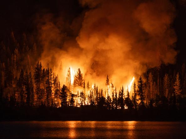
This story was updated on Friday, September 5, 2025. From the destructive Dragon Bravo Fire in the Grand Canyon to smokey skies in the Northeast due to Canadian wildfires, discover how drought and fire are impacting the U.S. this summer.Drought and wildfire interact in numerous ways. Many of the conditions that cause worsening drought can increase wildfire potential. Temperature, soil
Site Section
News & Events
The National Integrated Drought Information System (NIDIS) will host a four-day Southwest Drought Virtual Forum on September 21–22 and 28–29. The Forum will assemble stakeholders, decision makers, and drought experts for a cross-cutting dialogue on worsening drought conditions in the Southwestern United States, and response and relief efforts across levels of government and sectors, with the goal
Site Section
News & Events
Over the last century, droughts have caused more deaths internationally than any other weather- or climate-related disaster. Droughts in the United States, however, are generally not thought of as public health threats. The National Drought and Public Health Summit, held June 17‒19, 2019 in Atlanta, brought together a diverse set of local, state, federal, tribal, non-profit, and academic
Related Documents
Document Date
December 2019


